Wednesday October 6: The weather continues to be changeable - but changeable in a good way at the moment. The forecasters promise a warm weekend and a bit of sun. Indeed on Wednesday it was so pleasant that my wife encouraged me to go out for a ride to make the most of the end of the Summer (or perhaps to get out from under her feet).
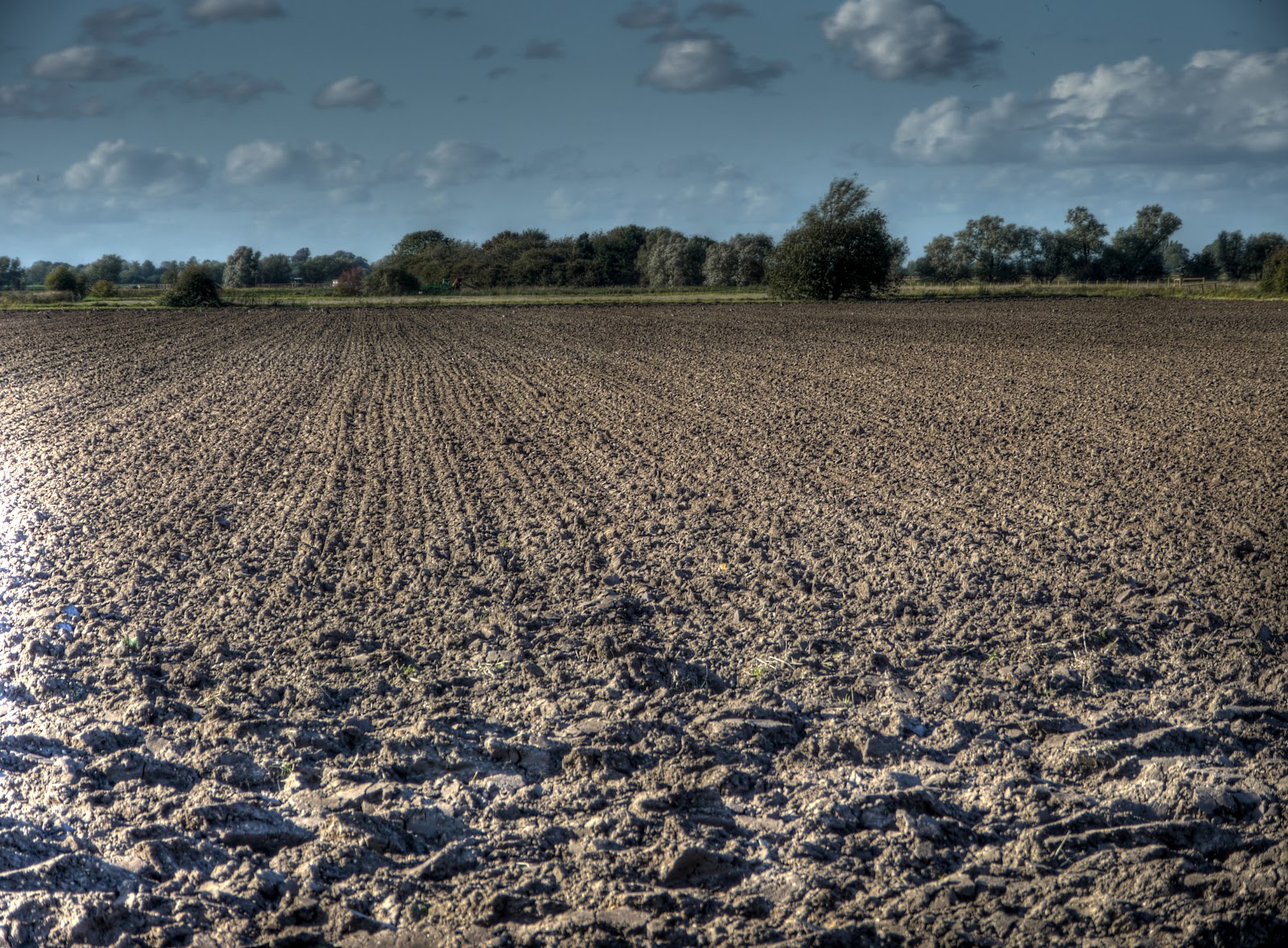
I was not the only one making the most of the good weather, after the recent wet spell the farmers have been out doing a bit of last minute ploughing. My route was a straightforward run up Lodes Way up to Upware, round Wicken Fen and back to Lodes Way with a detour to Burwell and back along Newnham Drove. Cycling along Sandy Road (which leads on from White Fen Droveway - check the map, it will make sense) the smell of freshly tilled soil was in the air, an unmistakable smell - although as I sit here - apart from calling it an earthy smell how to describe it?
As is common the freshly ploughed (and harrowed) field still had the harrow in one corner. (It tells you to do it in the Farming 101 manual.)
Pretty good straight lines aren't they. It must be quite satisfying to leave a field looking so orderly. You can see the blue skies with a few puffy clouds in the background.
It was such a nice day I popped along the track up towards Bottisham Fen - strictly speaking this is a farm track and footpath. It has two moderate ruts on it and quite a lot of grass so it was slow going but not too slippery. At the end is the field with Oily Hall Farm along one edge. (Oily Hall Farm is now more of a cow shed than a farm though. It is NT land but leased to a local Farmer (see Page 6 of the pdf). It is hard to believe that Autumn will soon be upon us and then Winter. Mind you look at the shadow being cast by the Wooden Bridge - the sun is getting lower in the sky as the nights start drawing in.
My detour to Upware took me over Reach Lode - no scruffy boats here. Although the OS map marks the path along the left hand bank as a footpath it is signed as a bridleway (and marked as such on the Cambridgeshire Country Council Rights of Way Map). If you follow it, runs alongside Wicken Lode before heading down Harrison's Drove and then to CockUp Bridge.
This is part of Reach Lode Lock which is how boats get from Reach Lode, in the last picture, through to the River Cam.
On my way into Wicken Fen from the road side, past the car park, the path has been narrowed and metal tracking laid, presumably for the construction vehicles (crane?) building the new Windpump.
The shared-used path has been narrowed and is rather muddy in places - there are now signs asking cyclists and horse-riders to dismount. Mind you a horse being walked (or a bicycle for that matter) requires far more width of path than a horse (or bicycle) being ridden. I assume that on the left hand side the ground is being prepared and then a crane will be used to lift the Windpump tower over Wicken Lode.
Once through Wicken Fen I turned of up Harrison's Drove, just before High Bridge (and CockUp Bridge). The first kilometre is made up of cracked concrete slabs - the rest of the bridleway to Wicken Lode is a grass/mud track. When it is dry it is quite pleasant and only mildly challenging to cycle along it. As you can see it was waterlogged and I didn't bother this time.
I did take a picture looking out over Adventurer's Fen, just at the point where the concrete stops though.
Then I headed back down towards Lodes Way via Burwell and Newnham drove - just to add a bit of distance. There is still some work to do on the route - although nothing that is going to cause any real access problems for cyclists. You do have to heave your bike over a footbridge over Reach Lode if you go direct. If you go via my detour then you have to lift your bike over some locked gates and then squeeze yourself through. There are various fences/gates and cattle grids being sorted out along the way.
Although the path has not been in use for long it does seem to be getting a bit chewed up in places.
Just before the last leg of my journey back to Cambridge I stopped at the picnic tables by Reach Lode Bridge for a drink. I try to make sure I always have a drink for any ride over an hour or so. Lemon squash is my usual tipple - if the journey is around 3 hours then I take two bottles. If it is any longer than I usually stop at shops along the way.
With the sun getting lower over the horizon it gives the bridge a warm glow. There is an interesting juxtaposition of the rough hewn wood of the fence leading to the bridge with the elegant lines of the bridge don't you think! ;-)
All this sun is making me look forward to cycling through here on a snowy day although I wouldn't mind a few more warm days either. I bet it'll look fantastic in the Winter both in the day and at night.. Yes I did have a deer run in front of me - but too quick to get a picture of it.


No comments:
Post a Comment