Showing posts with label Coton. Show all posts

Thursday, April 15, 2010

Cycling from Coton to Caxton, Cambourne and back on byways and bridle paths

The weather has been really Spring-like just recently, in fact perhaps warmer than you might normally expect for the time of year - which means time to explore a little. I do plan on cycling across England from Hull to Liverpool if I get the chance later in the year, but for now exploration means seeking out routes I have not been on before in Cambridgeshire.


As it is now officially short-wearing weather - both for cycling and home, when I don't have to wear long trousers for business reasons (the benefit of working from home) it is also time to go off-road a little more. Here in the Flatlands (East Anglia) off-road means byways and bridleways rather than technical mountain descents and so in the main quite accessible on my hybrid bike (Marin). It has flat bars and medium thickness tyres (Schwalbe Marathon Plus 700x25C), not the fastest, but a great, rugged tyre for Sustrans touring. I find Sustrans routes quite a mixed bag from wonderful, smooth tarmac to rutted, rubbley tracks. Mind you the sandy tracks of Sustrans 30 through Thetford Forest were too much for me. I have found a website devoted to Sustrans 30 (note the web address is redirected to a sub-page of another root - its ok). The interesting thing is that the website also suggests an alternative route through Thetford Forest, which I will try the next time I venture that way.


In the end, after a perusal of the map around the cambridgeshire area it seemed possible to cycle from Coton to Caxton on an almost direct route of byways and then back again on a less direct set of byways and bridleways. I use a website called "where's the path". You can open an OS map alongside a variety of different maps and views and they are synchronised. I generally use the OS map plus Satellite view to check out the paths - although I sometimes show the OS and 30s or 40s OS maps to check out disused railway line paths. In this case rather than plot a path and download it to my Garmin GPS I print out the relevant page and highlight the route in yellow. That way it is easier to be flexible when trying to find a route on the ground. The GPS has a map view and will show paths and roads of course, but with a small screen it can be tricky making choices between two different paths. (One might be longer but a better surface - the paper map makes the choice easier.)


When I got back I intended to upload the actual route I took from my GPS to a bike route mapping service such as www.bikely.com or www.bikeroutetoaster.com. But I could not get Bikely to load the route without a fatal error and Bikeroutetoaster showed the route but with spikes down to the equator. When logging cycle runs I set my GPS to stop when I stop - I stop quite a lot to take pictures, I assume this must confuse the website when mapping data. In the end I gave up and using the "snipping tool" (I have Windows 7) to take a screen-shot of the OSM cycle map of the relevant area and using the highlighting facility within the Snipping Tool marked up the route and loaded it into this post as you can see below.


Coton to Caxton to Cambridge.JPG


Coton is a small village on the western outskirts of Cambridge with a no through road that ends with a bridleway. The village is quite picturesque, despite lying near the M11 and A14 it is not on a main road and so seems quite quiet. Here is one of the quaint houses in the village.
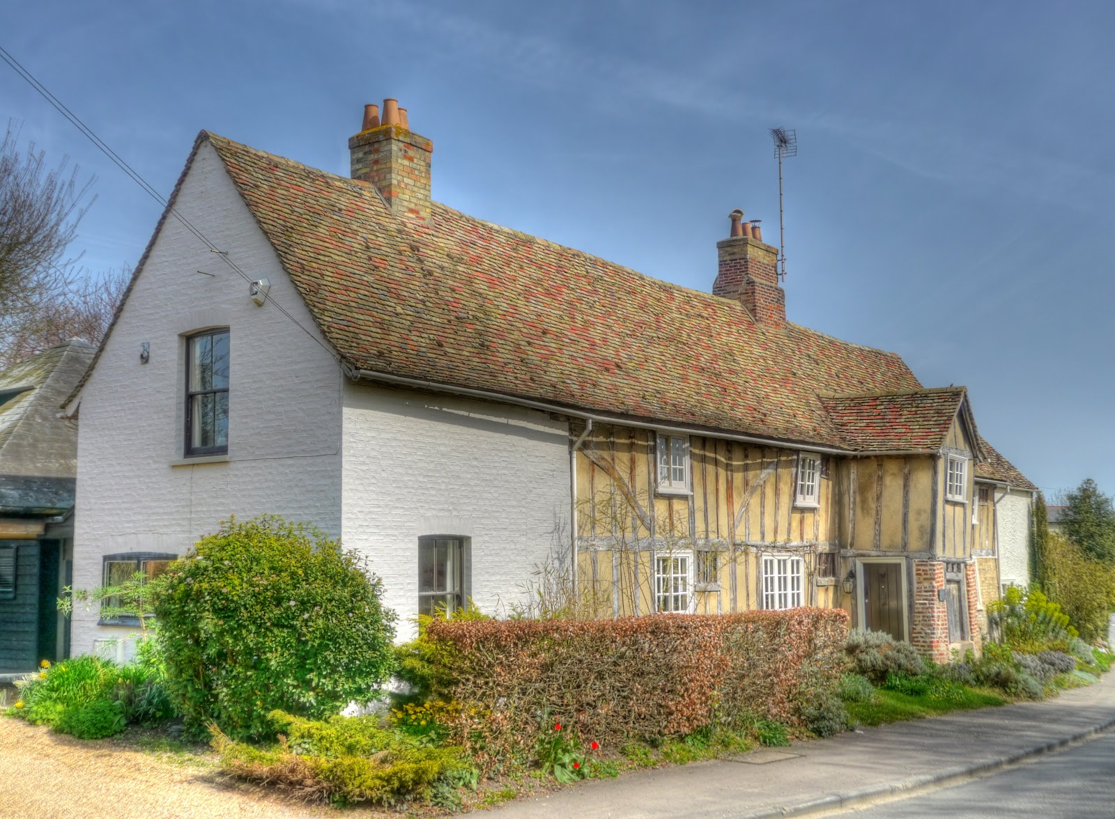

P1070815_09_10_11_12_13_14_tonemapped.jpg


Here is St Peter's Church in Coton which dates back to the 12th Century. Whilst checking out the church I came across the Parish Council website along with a proposal to build a cycle path through to Bar Hill
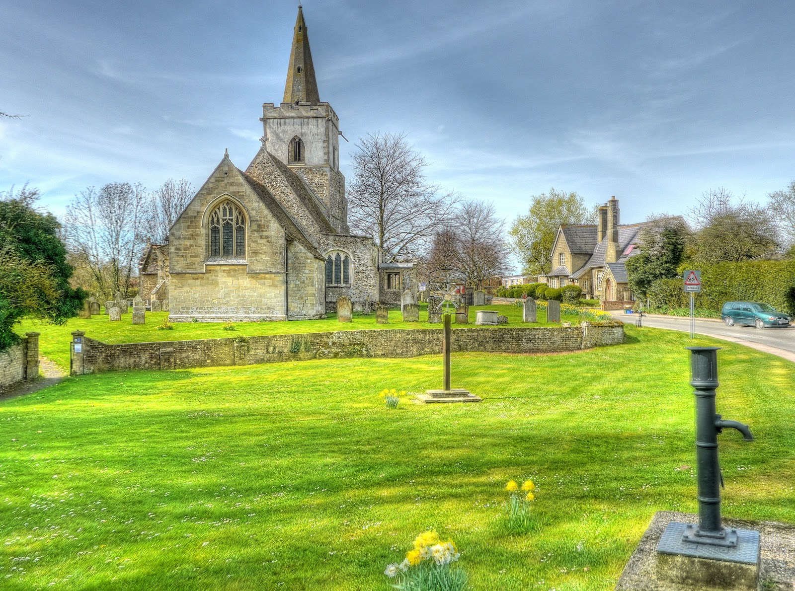


P1070822_16_17_18_19_20_21_tonemapped.jpg


This photograph looks back towards Coton from the path - as you can see a pretty reasonable track - no deep ruts, although the hoof-prints make it quite bumpy on my Hybrid bike.


P1070836_0_1_2_3_4_5_tonemapped.jpg


Looking forwards a reminder that the path skirts a military firing range - a warning no to pick up ordnance.
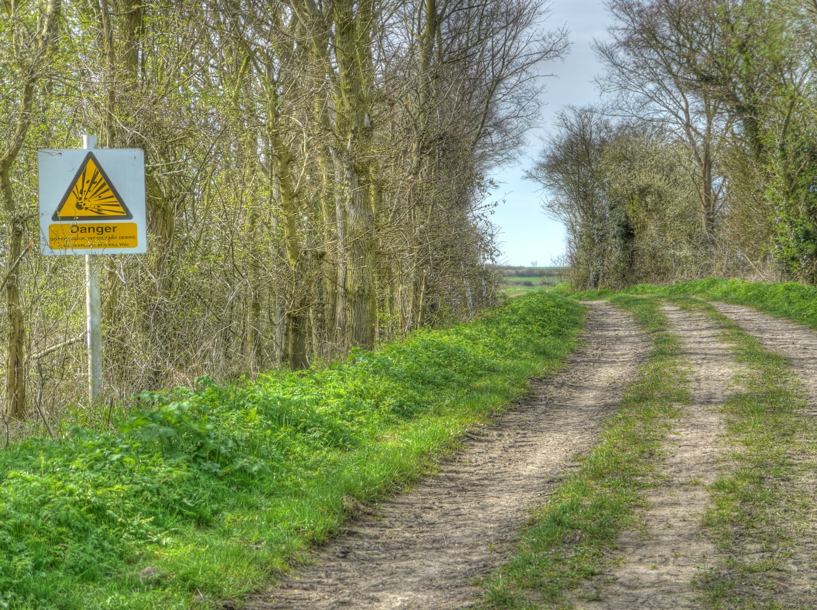


P1070843_37_38_39_40_41_42_tonemapped.jpg


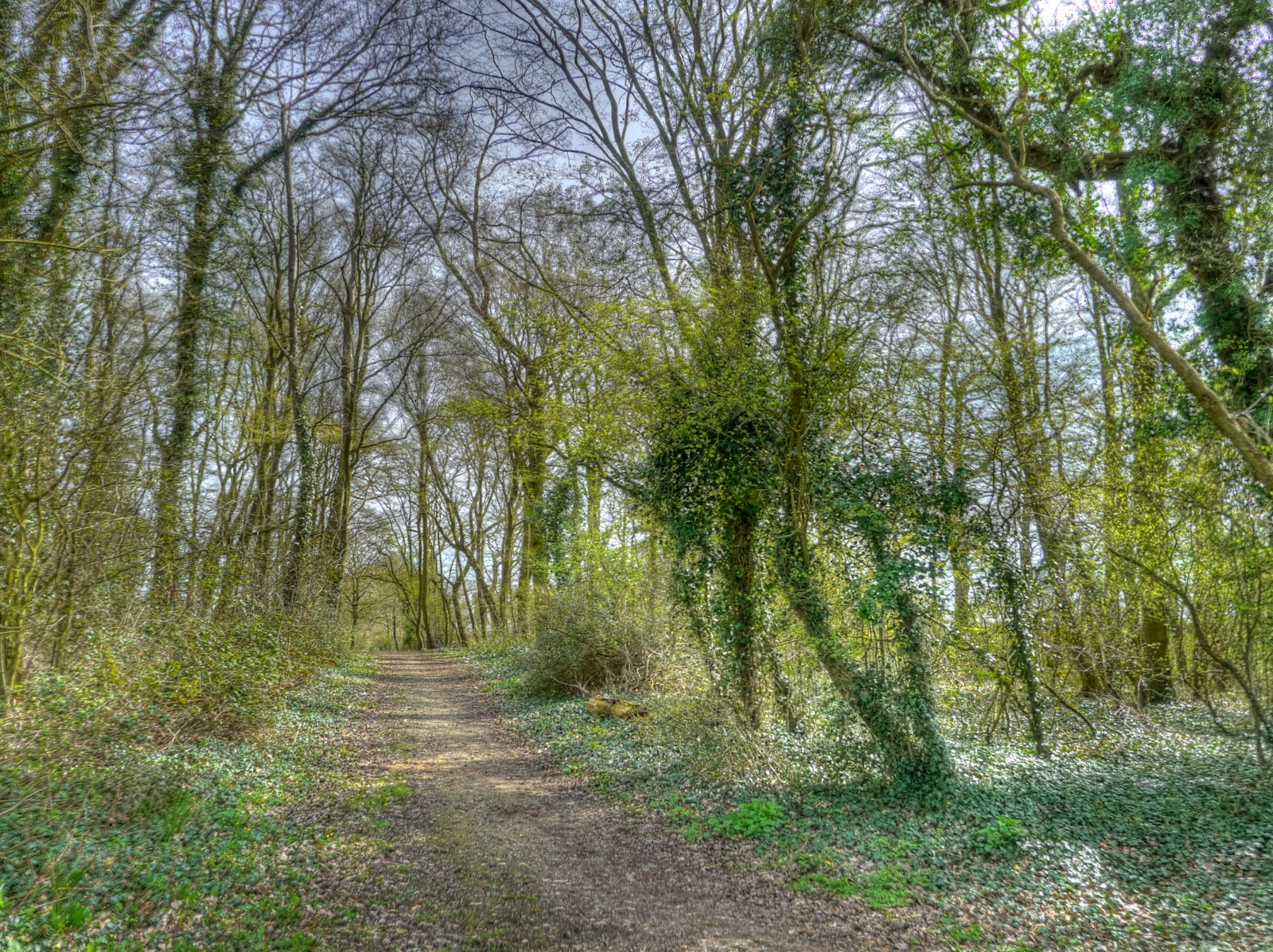
The route then passes through some woodland before you cross Long Road (near Comberton). Leaves are in evidence. This route is really quite pleasant, even though the day is windy the route so far has been fairly shaded.


P1070850_44_45_46_47_48_49_tonemapped.jpg


After crossing the road the route follows more open ground, again not a bad surface to cycle along and lovely open views.


P1070864_58_59_60_61_62_63_tonemapped.jpg


The same view, but a closeup - you can make out the Cambridge University Library Tower in the middle.


P1070871_65_66_67_68_69_70_tonemapped.jpg


The route seems to be quite popular for walkers on the OSM map it appears to be called Port Way. Just after crossing the Hardwick Road there is a bench for walkers (and cyclists) to sit and admire the view. Here is the view - the picture is made up from 4 x HDR (7) pictures - it makes the actual path look bent - but is actually straight.


Near Hardwick by Panorama.jpg


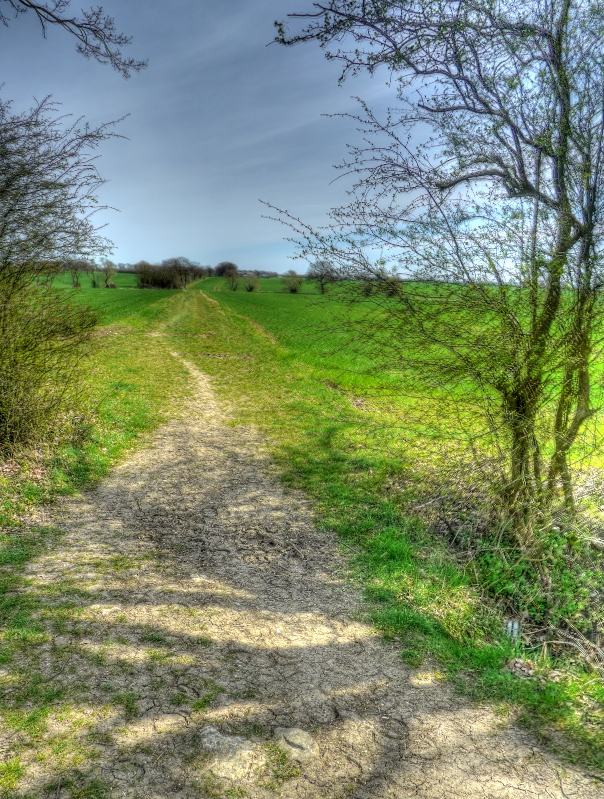
Chunks of the route also seem to be well used by Horse-riders - I am sure they would prefer to stay away from noisy motor vehicles more than I do. This picture is looking back along the path as it enters Hardwick Wood. I could have cut straight across through Highfields but instead I chose to follow the path alongside the wood and then back up the road towards Highfields via the road.


P1070920_14_15_16_17_18_19_tonemapped.jpg


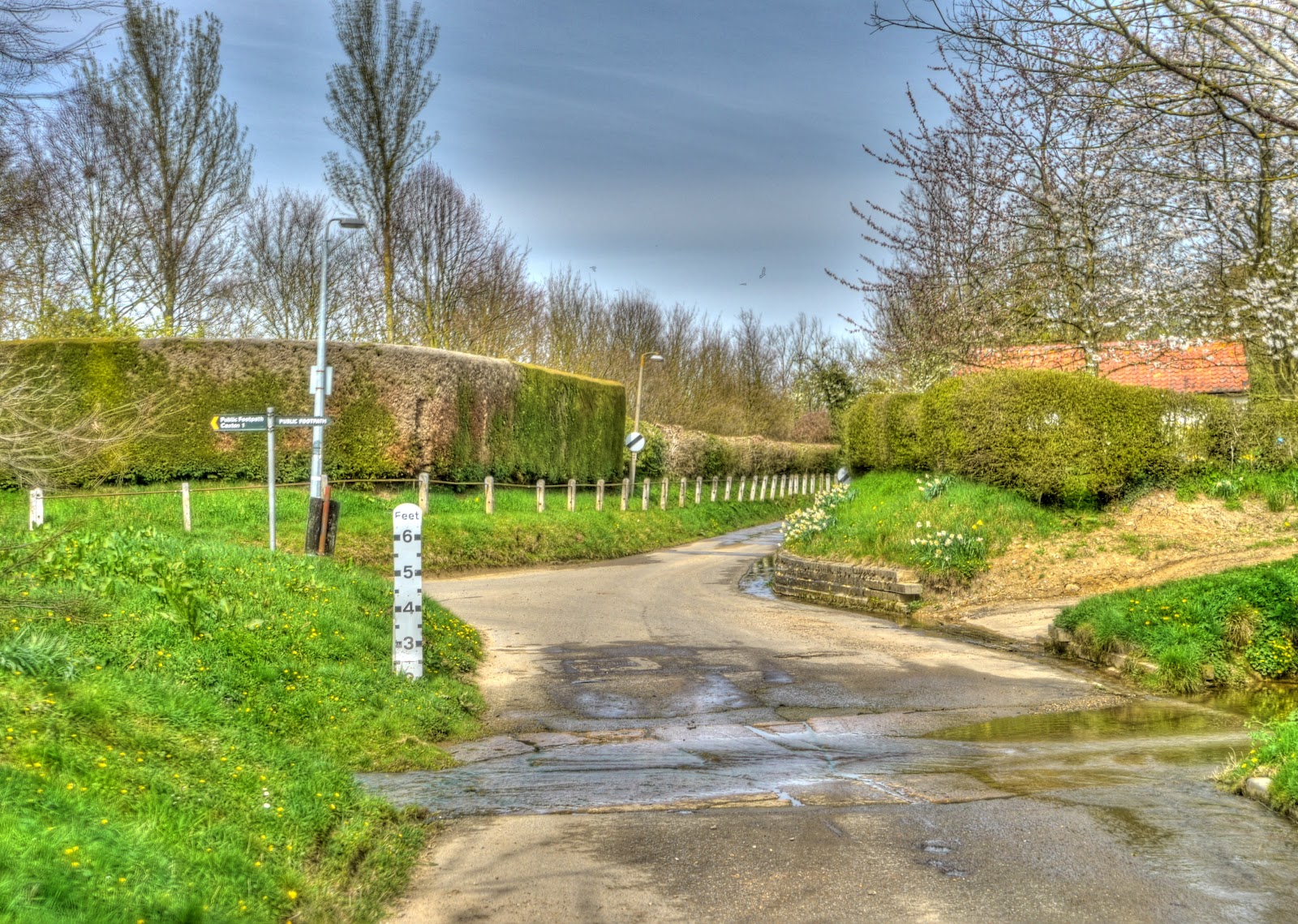
The route then passed through Bourn where I detoured slightly to check out the ford in the village. I had to (wanted to) cycle through it - in fact there were two places where I ended up cycling through water - the one in this picture and a deeper ford a bit further down the road. It looks as if they must expect some pretty deep floods.


P1070927_1_2_3_4_5_6_tonemapped.jpg


A picturesque cottage in Bourn. Taking HDR pictures when it is windy leads to very blurred pictures when trees/plants are in shot. The picture is made up from 7 different exposures of the same scene which are then combined to reveal all of the picture - except if things move in the picture they appear in several places as ghostly images. So this picture is a conventional one, as the blossom was moving all over the place.


P1070928.jpg


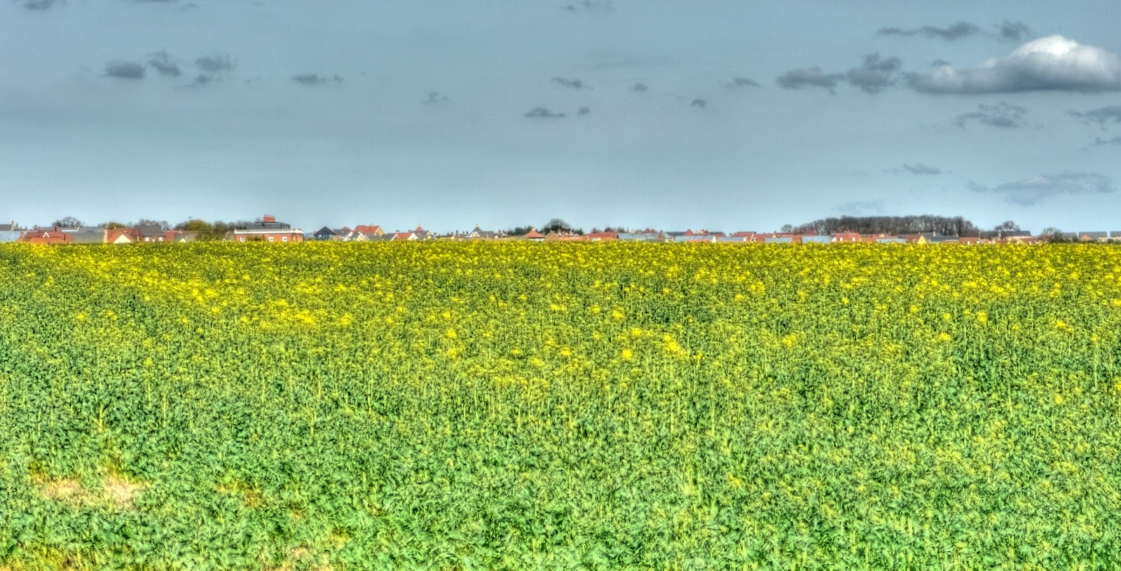
The route then followed a country lane up towards Caxton. En route I stopped to take this picture of a field of oilseed rape just coming into flower. The new settlement of Cambourne is peeping over the top.


P1070948_2_3_4_5_6_7_tonemapped.jpg


The route then switches back to a bridleway from Caxton through to Cambourne. The path has its own tunnel under the A1198 which bypasses Caxton. At the time it looked so good I did check to see whether it was a disused railway line - but no. Looking at the picture now the tunnel is not big enough for a train to pass under.


P1070956_57_58_59_60_61_62_tonemapped.jpg


Cambourne looks as if it has a good set of paths and open space, I passed through and then joined the old St Neot's road to the North. Although there is now a dual carriageway along the same route the small road seemed to have a fair number of speeding cars. Although it is shown as a small road on the map it is quite a wide, ex-A road.There were several fields of thatching material being grown alongside the road.


P1070969_3_4_5_6_7_8_tonemapped.jpg


Fortunately is was not far before I was able to go off-road again- through a picturesque wood adjacent to some sort of Industrial Plant. The route took me towards Childerley, it was not quite as easy to follow the route - there seemed to be fewer signposts
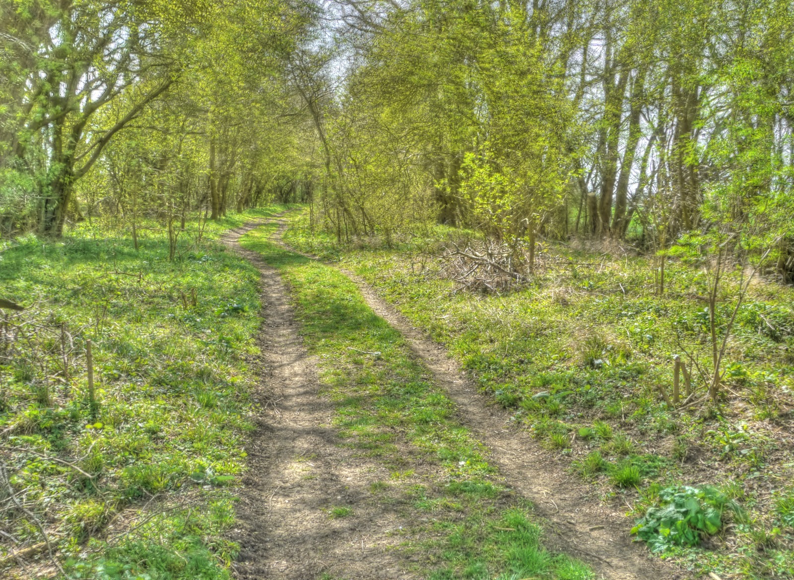


P1070976_0_1_2_3_4_5_tonemapped.jpg


The route seemed to follow a series of farm tracks like this - once again pretty easy to cycle along. I followed a tractor along some of this.
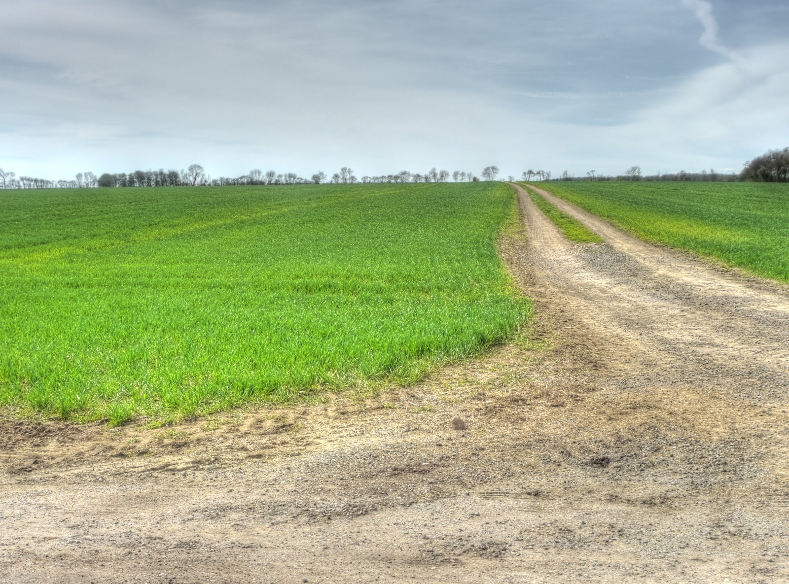


P1070990_84_85_86_87_88_89_tonemapped.jpg


Childerley Hall seems to be the centre of the settlement - the Hall seems to have a large garden with different parts of the building dating from different times.


P1080019_3_4_5_6_7_8_tonemapped.jpg


This blossom was visible from the track heading in towards the Hall.


P1070998.jpg


Leaving Childerley Hall was a little trickier - I was not totally sure what paths were public rights of way and which were not. as I stopped to check my printed map I did say hello to a lady walking her dogs with the help of an electric ATV. I had two choices Lolworth or towards Dry Drayton. In the end I headed to Dry Drayton, partly because I was going out that evening and need to think about getting home and partly because I was a little bit lost.


The route was signed - but part of it was a path across a field - it was hard work cycling along this bumpy surface. The path had been made clear - but not flat. (Cyclists are permitted on Bridleways but there is no obligation to facilitate the passage of the cyclists and indeed no trouble had been taken here.)


P1080026_0_1_2_3_4_5_tonemapped.jpg


I was quite pleased when the path reached the road - I was getting tired and this part of the track was very tiring. Is it just me or do these signs warning of "firearms" in use come across as very unfriendly.


P1080027.jpg


As I cycled on the road towards Madingley I saw a sign indicating a Bridleway towards Huntingdon road and couldn't resist checking it out. It started well but parts of the track showed how wet and muddy the path can get. I was amazed to see how deep in the dried mud some of the hoof-prints were - I pity the poor horses that were forced to navigate this when wet.
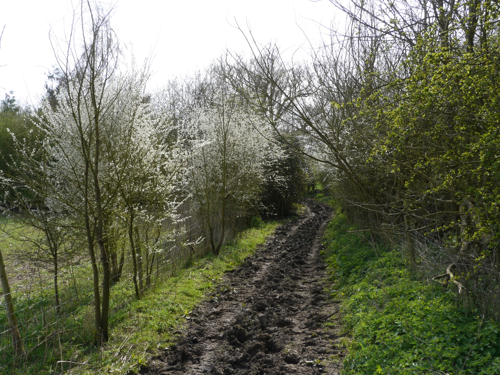


P1080028.jpg


There were some flowering oilseed rape fields here as well. The path wiggled about a bit and ended up on some large highly rutted farm tracks.
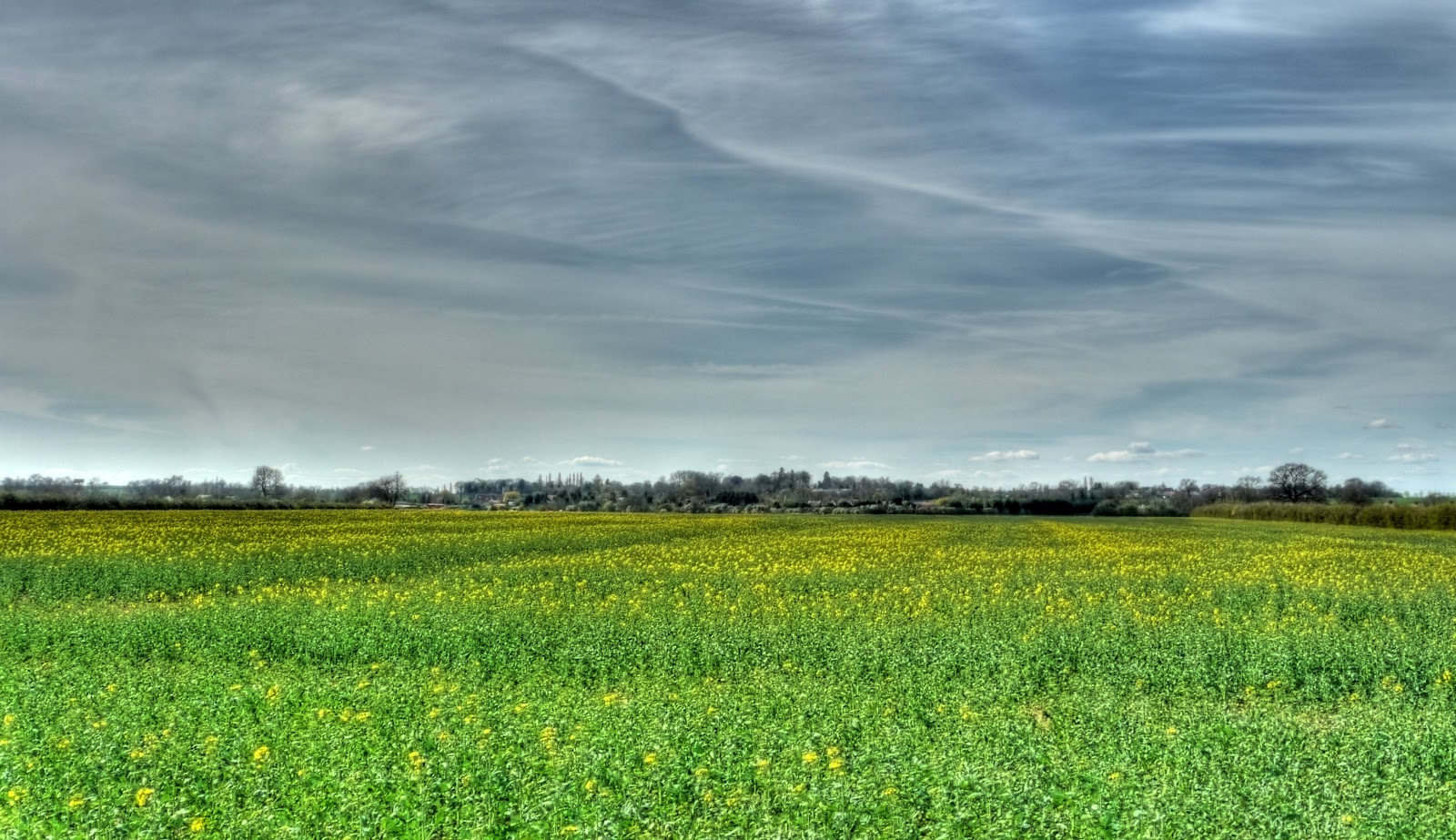


P1080047_2_3_4_8_5_6_tonemapped.jpg


The path's route onto the A14 became a little unclear just before it reached the road. It emerged near the Cemetery and wiggled through the Fruit Farm buildings there. I could not believe how noisy the A14 was and it was not that busy - it must be awful living there. I was able to leave the A14 after a short ride and head off towards Oakington where I returned to Cambridge on Sustrans 51. Next time I will try out the Lolworth direction - the last bit of off-road from Childerley was not so cycle friendly. However all-in-all a good bit of off-road cycling for a Spring day.

Tuesday, March 16, 2010

Cycling through some Cambridgeshire Country Villages

The weather is definitely picking up here in the flatlands, apparently we have warm air blowing in from the south - not a moment too soon as far as I am concerned. Although I enjoy cycling to and around Wicken Fen it is good to cover different ground sometimes. The great thing about the Wicken Fen route is that it is relatively traffic free all the way and feels pretty safe. There are o fast roads to cross or cycle along. I have been cycling all my life and have cycled in a variety of countries and types of road, but I do feel that cyclists are treated less courteously on the roads in the UK now. Some might say that cyclists have themselves to blame - red light jumping and cycling on pavements being the two main crimes. Well I don't do either and don't condone them either but still feel that it is imbalanced - cars might get a scratch, cyclists get killed. Why am I saying this well on what was a very pleasant loop around Cambridge there were a number of instances when I felt the road was unsafe.


The joinery started along Sustrans 51 out towards Swaffham Bulbeck before detouring over the Swaffham Heat Road towards Dullingham. The farmers are still busy preparing the fields for planting and the Heath Road was no exception.


P1050952_3_4_5_6_7_8_tonemapped.jpg


I also saw my first "wild" daffodils on the approach to the bridge over the A14. There were daffodils coming out on both sides of the road - I have no idea why they seem to be early here it is not particularly sheltered or south facing.


P1050959_60_61_62_63_64_65_tonemapped.jpg


For flowers growing by the side of a busy road (the A14 not the Heath Road) they seem in good shape, especially given the cold weather delays.


P1050966.jpg


My route involved some minor climbing, the highest point on the route was only 100m though and then a short drop down into Dullingham, unfortunately there was a train due at the station, which in the best traditions of the railways, was around 0.5 miles/0.75Km from the village itself. This is the Cambridge to Ipswich Line (perhaps they call it the Ipswich to Cambridge line in Ipswich!). It is not a busy line there seems to be a train either way each hour. Although it is popular for Hills Road College students commuting into and out of Cambridge who live in the the surrounding villages apparently. I believe that they used to run a single "coach" but for the school rush hour they have a double "coach". This line has not been electrified and the level crossing is still operated by the signal man who pops out and opens/close the gates as appropriate. The stone pillars look to be originals.


Give the congestion problems getting into Cambridge it is surprising that it is not used more, but Cambridge station is capacity constrained because of its one-side design and I guess the Cambridge/London commuter traffic is more lucrative. It is only a single track line,apart from at stations, which also complicates matters.


P1050976_77_78_79_80_81_82_tonemapped.jpg


Here is the track and signal box - it all looks rather quaint, the modernisation of the railways has passed it by. Let's hope it does not get squandered though. Whilst looking on the web for information about the railway line through to St Ives that has since been turned into the CGB I did find a website ("end of the line for Histon Station") with pictures of the old railway installation which is worth a look for rail enthusiasts. I don't quite consider myself an enthusiast - I have never seen any interest in writing down engine numbers- I do like riding on steam trains though and it amazes me how extensive the old railway network was and how we have squandered such a valuable resource - whether it was for continuing rail operations, guided busways or cycle routes. A great website to check out is "Where's the path". You can use it to compare a current OS map view alongside a 1940s (or 1930s) OS map view. There were railways all over the place, no all that is left are the odd cutting.


I can also remember as a young boy seeing steam trains still in commercial use. I had to check Wikipedia to see when the Steam trains stopped - 1968. The working conditions were pretty harsh for the railwaymen involved with them.


P1050983_4_5_6_7_8_9_tonemapped.jpg


My route took me along some very quiet lanes through Balsham along to another very quaint village - HIldersham. It lies just off the very busy A1307 to Haverhill. The road has seen some nasty accidents along its stretches. The village itself is a bit like a time warp. There is even a ford to cross the river, alongside a more "modern" bridge for light motor traffic and of course pedestrians and cyclists. I have cycled though this ford before but not on this trip, despite the warmer winds blowing from the South I did not really want to run the risk if a slip on the slimy river bed. You can see that this ford is well constructed and looks well used.


P1050990_1_2_3_4_5_6_tonemapped.jpg


A view of the River Granta upriver.


P1050997_50998_50999_60001_60002_60003_60004_tonemapped.jpg


For the previous picture I crossed this "footbridge" to get a better vantage point - it wobbled a bit as I went over it - too much eating over Christmas!


P1060005.jpg


I crossed the A1307 - not a pleasant road for cycling along, although it appeared to have a shared use pavement alongside the road. Still not pleasant because motor traffic is very noisy when you are not sitting in the cocooned environment or a car or lorry. Try it some time you'll be amazed how noisy cars are travelling at speed. When checking out the map later I noticed that my route took me alongside yet another dismantled railway - the Cambridge, Haverhill and Sudbury Branch line. As far as I can see nothing has been developed using this old line. I then headed briefly along the A1307 just after it crossed the A11 before turning off towards Sawston. Actually the bit I joined was where the dual-carriageway became a single carriageway again. It was light - I had a red jacket and yellow fluorescent hat on - but there were cars who only seemed to overtake me just after they passed me. I guess the bottom line was they did not expect to see cyclists on the road and so were not looking and reacted late. I was also passed by a lorry carrying bales of hay - it was travelling quite fast and shedding large amounts of dust and bits of hay - one got in my eye. Fortunately I was able to remove it as I waited (for ages) to turn right of the main road. You can see why I like to stick to smaller and quieter roads.


I joined the Sustrans 11 route up through Sawston but carried along the A1301 up to Trumpington. This road is quite wide and has cycle lanes painted on the road. I passed quite a few cyclists using the lanes including a family with a trailer making good progress. One interesting "feature" is that although the Highway Code asks motorists to leave plenty of room when overtaking cyclists the on-road cycle lanes somehow give permission to pass cyclists much more closely. I imagine that in general traffic is going more slowly, but it does encourage motorists to consider it acceptable to pass close by cyclists. Certainly when I am driving I would tend to pass a cyclist more closely when there were painted lanes than when not. I think it is an example of the mixed message the motorists receive in terms of how to treat cyclists on the road.


On the Shelford Road (as this part of the A1301) is called I stopped to take a picture of what I presume is the route of the CGB down to Trumpington on the route of the disused LM & SR (London, Midland and Scottish Railway) from Cambridge over to Oxford. It looks quite narrow and I believe it will be a single track in operation here - there is quite a drainage ditch alongside. I wonder where the cycle track (if there is one here) will go. There is clearly a lot of work still to take place but they have a chance of catching up with the St Ives part of the CGB if they keep at it. There is also a road connecting the Park and Ride site at Trumpington with the Addenbrooke's Hospital site as well crossing the Shelford road. I assume that it will provide direct route for all M11 commuters to get to Addenbrooke's (those that want to of course).


P1060014_15_16_17_18_19_20_tonemapped.jpg


I then cycled along the Trumpington road into Cambridge. The first part is on road with dotted lines marking out the cycle lanes and then a shared use cycle path closer to Cambridge. As I was cycling down on the road a bus went past me and then dived into the kerb and stopped. It was a stagecoach bus as it happens. Why? Who knows; he didn't see me, or mis-estimated my speed, or was running late or just felt bloody-minded towards cyclists. None of those reasons give me a warm feeling about buses and bikes it is no wonder that many people cite the issue of danger when explaining why, although they would like to cycle they don't. The shared use path alongside the road here is pretty good (for the UK, not compared with Holland!). I then headed out to Coton along a shared route and stopped to take a picture of this house being re-thatched - actually there are quite few thatched cottages in these parts - the wet fens must have been a good source of materials?


P1060028_29_30_31_32_33_34_tonemapped.jpg


I did stop at these lights by the way.

Saturday, February 27, 2010

Cycling a large loop around Cambridge

Saturday started really nicely, having gotten the chores out of the way earlier in the day (a visit to the supermarket) my wife went out to the garden and I decided to cycle around Cambridge - a loop of around 30miles/50Km. The plan was to take a bunch of pictures on the way round, starting with these crocuses. In our garden the yellow ones are first up followed by the purple ones. You can see the odd purple splodge if you look closely.


P1040960.JPG


I normally head out along Sustrans 51 under the A14 to Quy on through to Bottisham and then detour of Sustrans 51 through the Wilbrahams. For some reason I seem to have forgotten that I was planning on taking photographs along the route - it was such a lovely day with temperatures of 10C I forgot about the camera and just cycled. I then cycled through Fulbourn taking the Shelford Road up the only real hill of the ride (and there are many who would not really consider it a hill), a short 70m climb up edge of the Gog Magog Hills. Whilst I did not sprint up I can't say I really think of it as a climb. It does provide a good vantage point for Cambridge though. This picture is of the Chalk Pits over near Great Wilbraham, just off the A11. It is apparently a candidate for some form of waste disposal (Inert waste and Landfill) - but it is situated between two sensitive chalk aquifers and so care needs to be taken.


P1040971_2_3_4_5_6_7_tonemapped.JPG


This Smock Windmill overlooking Fulbourn lies just off the Shelford Road on, not surprisingly, Windmill Hill and is known as Fulbourn Windmill, It was built in 1808, but left to decay in 1937 because of a lightening strike. As you can see it has subsequently been restored.


P1040978_79_80_81_82_83_84_tonemapped.JPG


Looking further round is Fulbourn Hospital which at the time of its opening in 1858 was the County Pauper Lunatic Asylum. The buildings are typical of the time. I grew up near the Mendip Hospital in Wells, similarly a Victorian Mental Hospital. The Mendip Hospital has closed and the Fulbourn Hospital from a peak of 540 patients has been downsized with the main buildings now forming a business park. I do wonder what has happened to the patients - "care in the community" or down and out on the streets.


P1040985_86_87_88_89_90_91_tonemapped.JPG


After the excitement of descending the Gog Magog hills and a maximum speed of around 30MPH/50Km/h my route took me along the strangely named Wort's Causeway - named after the benefactor Sir William Wort of St Catherine's College. If you follow the link there is a rather nice website I will have to read - cycle rides around the Cambridge and Ely area! I then ducked down the aptly named Red Cross Lane, which leads onto the Addenbrooke's Hospital Campus where I picked up the Sustrans 11 route off towards Saffron Walden. Mind you I was only planning on having a look around the recent Cambridge Guided Busway (CGB) works since they CGB will reach down to Addenbrookes and yet does not get much mention in the press. The map of the Busway shows a route from the City Centre to Addenbrooke's and Trumpington via the Railway Station. There is certainly a big bridge over the railway line near Addenbrooke's that has been build to allow the CGB traffic to cross the track. You can get to it from the Sustrans 11 route and the bridge is a road bridge with wide pavements and "segregated" cycling and walking parts on the pavement. The segregation is virtual as it is done by pavement colour. They also use the longitudinal concrete ridges on the cycle part of the path - I hate them especially when it is wet they make the bikes steering jink about unpredictably. On the pedestrian side the ridges are orthogonal and less disturbing to cycle on although bumpier. When you cycle you are taught to cycle across rail-tracks at right angles, not along then as it minimises the risk of the wheel getting caught up.


At this point in the ride I should have twigged that the weather was getting worse! There was rain in the air - you can even see that a splodge has gotten onto the lens of the camera.This seating area is on the other side of the bridge away from the hospital. It even has some parking for bicycles and seating.


P1040992_3_4_5_6_7_8_tonemapped.JPG


Looking towards Trumpington - shared use path, with those horrible ridges set into the path.


P1040999_50001_50002_50003_50004_50005_50006_tonemapped.JPG


Looking back at the new Medical Research Park being built alongside Addenbrooke's Hospital. These cranes are visible for miles (kilometres).


P1050007_08_09_10_11_12_13_tonemapped.JPG


There is an odd path leading from the railway bridge, I am not sure where it will eventually lead to - perhaps alongside the railway line?


P1050014_15_16_17_18_19_20_tonemapped.JPG


After a detour of Sustrans 11 I rejoined it along Long Road - pausing to take this picture of the CGB construction work. This part seems to be progressing more slowly to me - there was certainly a lot of work necessary up on Hills Road close to the railway station to provide a route for the CGB under Hills road alongside the railway track. On the right of the picture there is quite an encampment of workers - the track looks finished - but it has not gotten its recycled chewed up tyre infill yet.


P1050021_2_3_4_5_6_7_tonemapped.JPG


At the point I cycled up to the Trumpington Road and headed off towards Cambridge on the shared-use pavement before cycling down through New Bit, alongside Coe Fen then onto the Fen Causeway before crossing the Lammas land onto the A603 before heading off down Grange Road, Herschel Road, Sylvester Road, Adams Road onto Stacey Lane - up past the Cavendish Laboratory. This is a path that goes up to Coton. Why no photographs you might ask. Well it started raining, harder and harder and then hail came down, harder and harder. Despite having waterproof gear on icy-cold water got inside my collar ran down inside my jacket into my gloves. At this point I was freezing and just wanted to get home. My hands were so cold that I got little spams of pain as I went over bumps. Alongside the Cam there were some boat races taking place and I found myself cycling against the tide of cyclists following their boats. It was great to hop into a hot bath when I got home, after first putting all my drenched clothes in the sink to drain.


When you chop up chillies and have slight abrasions on your hands it causes your hands to sting slightly for a while, despite any hand-washing you do. Well I got the same pain from having icy-cold water in my gloves and having to cycle for a while.