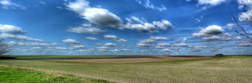
After yesterday's cold day (recap due to out of sequence posts - Friday ok, Saturday: wet, cold and windy) I wore leggings a waterproof jacket, vest and cycling shirt. I did not want to suffer as I had yesterday, my only concession to Spring was to wear my cycling sandals, but with waterproof socks and long fingered gloves (not on my feet)!
After a short bit of cycling without a real direction in mind as I was heading out of Cambridge on the High Ditch Road I thought it was actually quite warm and sunny. I stopped to try to let a bit more air in as I cycled and looked back at the Low Fen droveway bridge over the A14 and thought it was both an interesting picture and direction. So I took the picture and turned back to cross over along the by-way. It is quite a construction for by-way - presumably it needs to be able to carry agricultural vehicles.
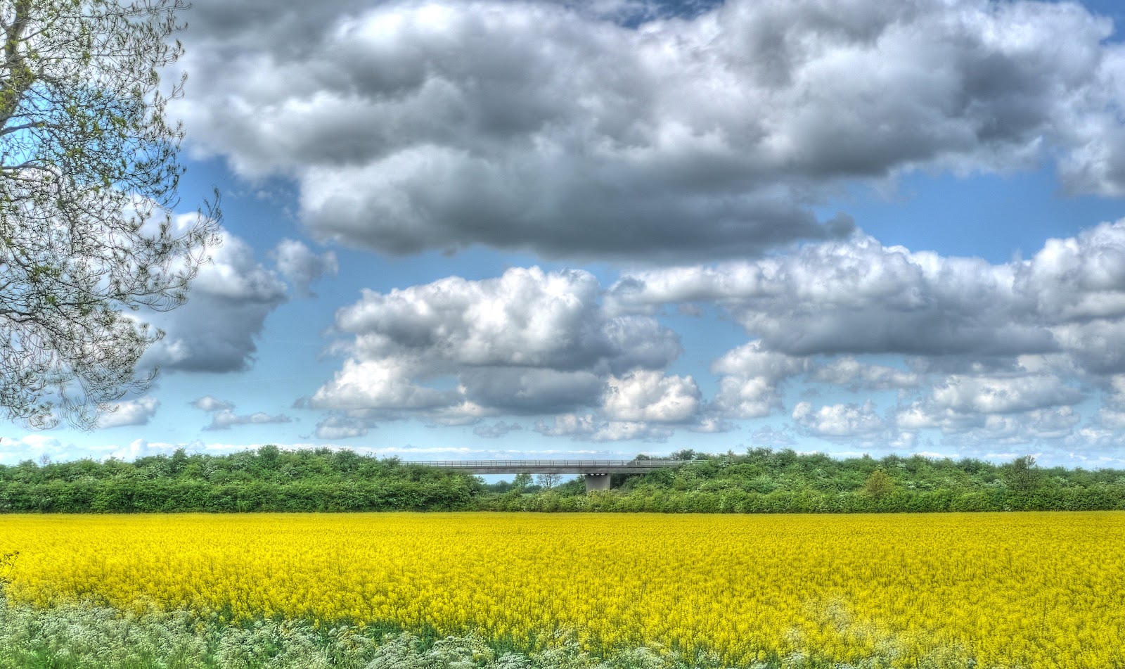
On the bridge I noticed that they seemed to have lifted all the drain covers, which I assumed was to allow the drains to be cleared. But... if the council was doing this wouldn't they have put up warning notices. Looking more closely there did not seem to be any evidence of cleaning near the drain - I wonder if they have been stolen for scrap metal! All the drain covers on each side of the bridge were missing - I would guess that between 10 and 20 covers had been removed. This picture is taken from the top of the bridge having passed over the A14 before the bridge descends down the other side. There is pretty good tarmac here, beware the road becomes a farm track at the bottom with some large potholes - if you go whizzing down you need you wits about you. I did this once on my MTB and lost a water bottle as I slammed through a pothole, something I didn't notice until I stopped later for a drink...

The route loops back towards Cambridge and joins the Horningsea road between Fen Ditton and Horningsea - the site of a new shared cycle/pedestrian path construction. I visited it last week, they have now built the path, with kerbing and hard-core, it only needs tarmac and paint. It should certainly help those wanting to cycle and walk between the two villages. (Actually Fen Ditton is more a suburb of Cambridge.)

I read an article in the BBC on-line Magazine about "The Tree that Shaped Britain". Oak trees are being attacked by a mysterious blight - Quercus robur. The period from the first signs through to complete death is only about 5 years. Seeing this Oak tree made me wonder if that was what was happening here. When I was a young lad I was always warned to be wary of climbing Oak trees as they were likely to have hidden rot which meant the branches could break easily and unpredictability. Tree-climbing was a bit of a "hobby", I never broke anything falling out of a tree - I did fall into a bed of stinging nettles once collecting conkers (Horse chestnuts). I also fell out of an apple tree when scrumping apples - I landed on my back completely winded but still clutching the apples. I understood that the problem was because Oak trees had not built up a natural immunity to some of the rotting agents. This blight seems far more serious though. The picture is taken at the corner of The Drove Way, near Quy and the same path where it runs back towards Quy parallel to Quy Water.

The track does not seem to have a name on the Sustrans Map of the area viewed at a high zoom level, it might still be called the Drove Way. Although it is a by-way it seems to be mainly used by walkers and dog walkers rather than tractors. So it remains grassed over with a single path worn in it. This view looks back towards the Station Road Quy. (The disused Cambridge to Mildenhall Railway line passes nearby and the old Station is nearby as you might expect on Station Road.)

A quick stop at White Fen, near Lode to record the progress of the leaves on the trees along the banks of Swaffham Bulbeck Lode. I must check to see what species the "unleaved" one to the right is.

For some reason when cycled down Headlake Drove the last time I did not actually check to see how the new Lodes Way bridge over Reach Lode was getting on. I did pass some young people in a car driving along this track, the driver thought it appropriate to shout some sort of abuse at me. I was listening to my MP3 player so did not hear what he actually said - the tone was not pleasant though. I stopped and took a picture of the car - for reference.
As I approached the bridge construction site I was also overtaken by a Range Rover - by the time I stopped to take this picture the car was driving down this track. It looked as if the driver was going to go up the ramp. The car drove around a bit and then went back towards the Upware but instead of driving along the road appeared to take a track - Rand Drove. After taking this picture I went up the track as was just a little concerned that maybe the car driver was perhaps up to no good and I wasn't keen on cycling along a thin road with the car following me. Paranoia aside, the guy was probably a local farmer having a look around the farm.
As you can see the construction is progressing - there are three culverts and a ramp in place - I wonder if they are doing by sides at the same time or first one and then the other. I assume that as the road has been prepared for a heavy crane to drive down the bridge placement will be soon.

After viewing the construction I cycled (left) up towards Upware along what is first a mud track (Straight drove) and then what was once a tarmac road (Harrison's Drove) - but is now deteriorating into a gravel track. From time to time there are bridges from the track crossing over Commissioner's Drain to the adjacent fields. This picture was taken from one of those concrete slab bridges looking back down towards the new bridge construction mid-right of the picture.
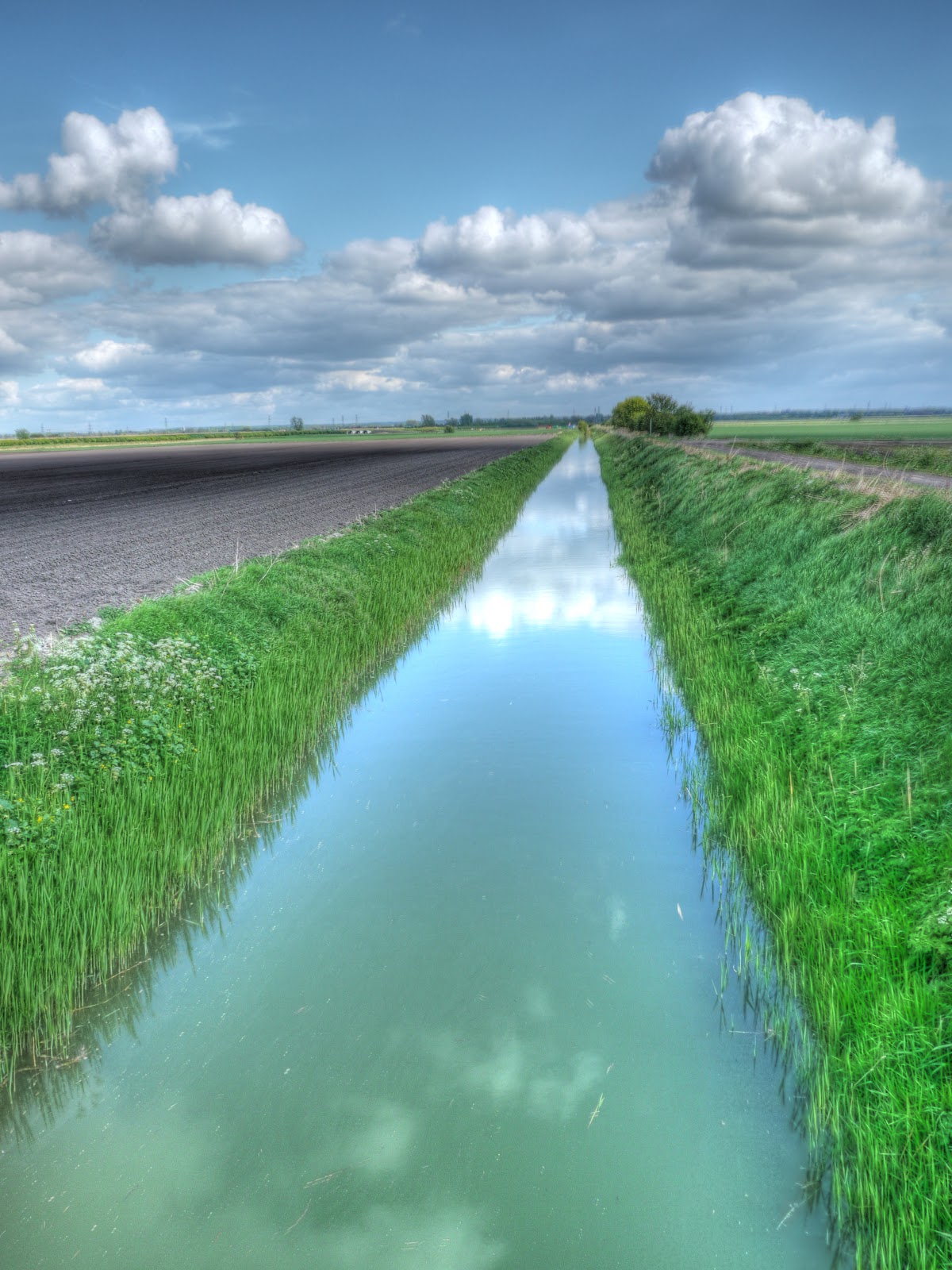
Last week this field was being cleared of leeks - it has now been ploughed and tilled and is either ready or has been drilled with the next crop. Farmers can't hang around they need to sweat their assets!

You'll be pleased to know that I wasn't run of the road by either a Range Rover or a blue car as I carried along the road to Upware and then Wicken. I did spot a pair of boots by the side of the road. My guess is that they were removed by one of the gangs of labourers (who work the fields) at the end of a long and tiring day and forgotten. They still look to be ok.

By now I was really over-heating - it was actually a pleasant Spring afternoon. I had seen quite a few cyclists on my ride including two tandems and as I was passing the Methodist Church in Wicken realised that this was the place offering Cream teas to cyclists - and as luck would have it two cyclists came out just as I stopped to take this picture. I hope they had an enjoyable tea. Actually the chap looking in my direction cycled up past me before turning back down along one of the back roads in the village to where he really was heading - he wanted a closer look!

The weather was really pleasant, the only problem is that there are more insects around and I had a close call with one fly that I almost swallowed. I must remember to keep my mouth closed - although that is easier said than done when cycling (for me anyway). My t-shirt was saturated by the time I returned - either I must get better at working out what cycling gear to wear when I set out or at least get better at adjusting it en-route.


