
September 7: If you are thinking of going out for a cycle ride at the weekend and live somewhere in the Wicken Fen area then I would recommend riding along to the opening of the Lodes Way cycle route on Sunday and having a ride around the area. The ceremony starts at 1pm and there is a BBQ apparently.
For choice I like to cycle along reasonably fast routes, so I can cover a lot of ground, in the countryside and free of traffic and noise. I don't mean racing, I am not that fast, but routes that have lots of junctions on them can be a real pain. I would rather "waste" my time having to negotiate a tricky bumpy byway in the middle of "nowhere" than having to constantly stop and start to negotiate a twisty urban route. So forgive me for once again heading out onto the Lodes Way.
The route is shown below and is actually three loops. With a loop between Cambridge and Lode then another between Swaffham Bulbeck Lode Bridge and CockUp Bridge and then a bit of a loop around Wicken Fen. The route is around 50Km/30 miles in length and although there is 82m of ascent/descent I think quite a lot of that is from the bridges. It is actually pretty flat. The maximum height reached is 20m above sea level and the lowest is 1m below sea level. Here is the BikeRouteToaster (BRT) link.
You should also note that at the moment the route is not open - so there may be closures as they work to get everything in place for the official opening. Also I have been a little naughty and for the loop around Wicken Fen I have used a footpath - it has a hard tarmac surface and I have seen other cyclists going along it. However I would not use it over a weekend when Wicken Fen tends to be at its busiest.

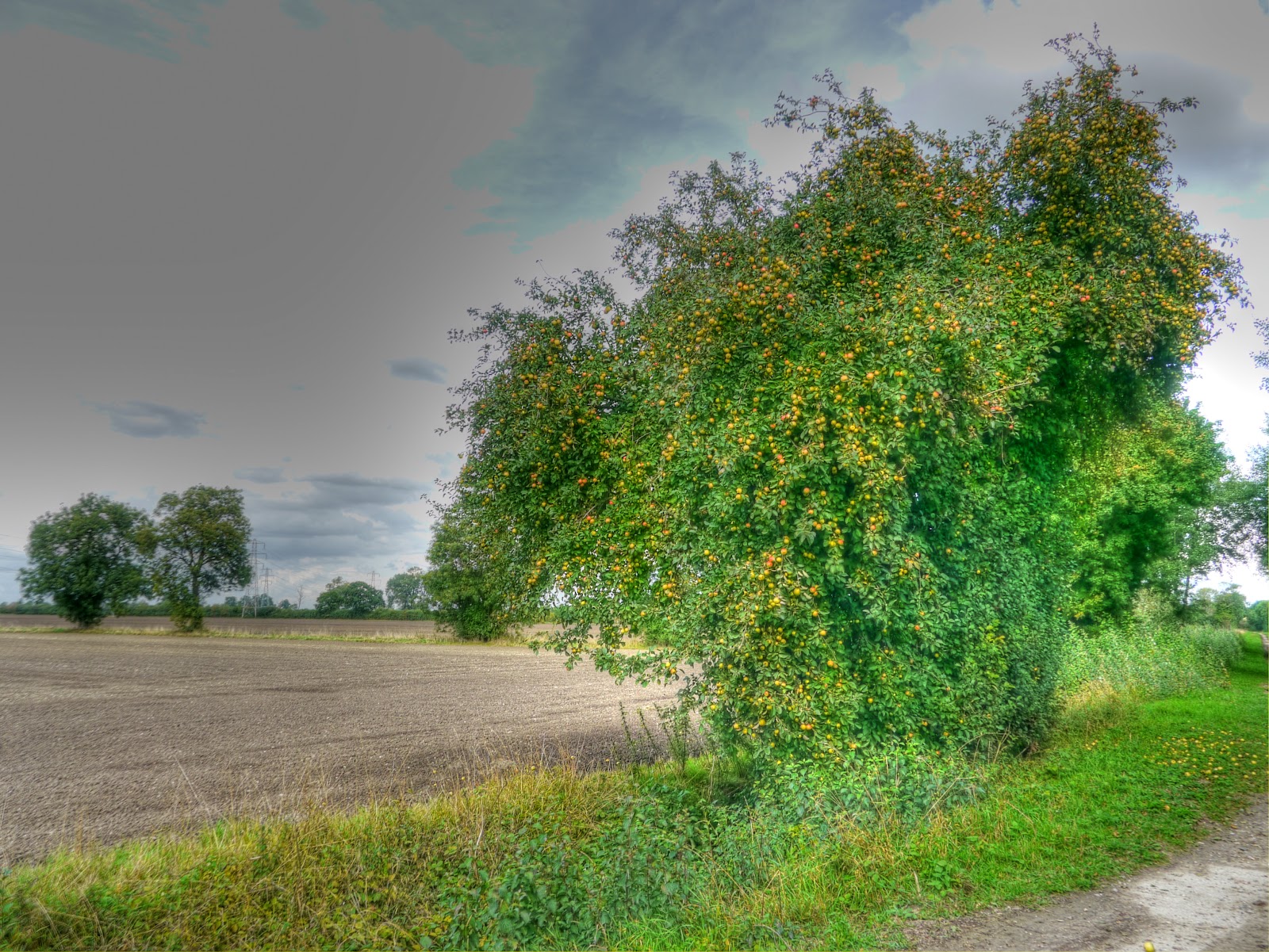
My route starts with a ride along High Ditch Road passing over the old railway bridge under which the Cambridge to Mildenhall railway used to run until it closed in 1964. This brief stop was to take a picture of the Apple tree - the result of an apple core discarded from a passing train perhaps? (It was windy again so the branches were moving around and so the HDR multi-exposure picture was way to blurry - even for me.)

Then it was the first "climb" of the day on the Low Fen Drove Way bridge over the A14. I did not take any pictures, but I ought to mention that the armchair has been removed - they are very good at clearing the rubbish left by tossers fly-tippers in this part of the world.
I have taken pictures of this apple tree before - the fruit has ripened nicely and the field alongside has been ploughed.
Whilst cycling along the byway between Horningsea and Quy Fen (aka Harcamlow Way) there were some rather worrying rain clouds over in the Cambridge direction. Whilst I might be able to outrun these for a while I was going to have to head back to Cambridge eventually. Hopefully they will have rained out before I head back.

That was the view looking towards Cambridge, from exactly the same position but looking the other way the skies could not have been more different. Unfortunately the winds were blowing the rain towards me rather than away from me. You might ask didn't I check the weather forecast - well yes as it happens - Sunny Intervals all afternoon.

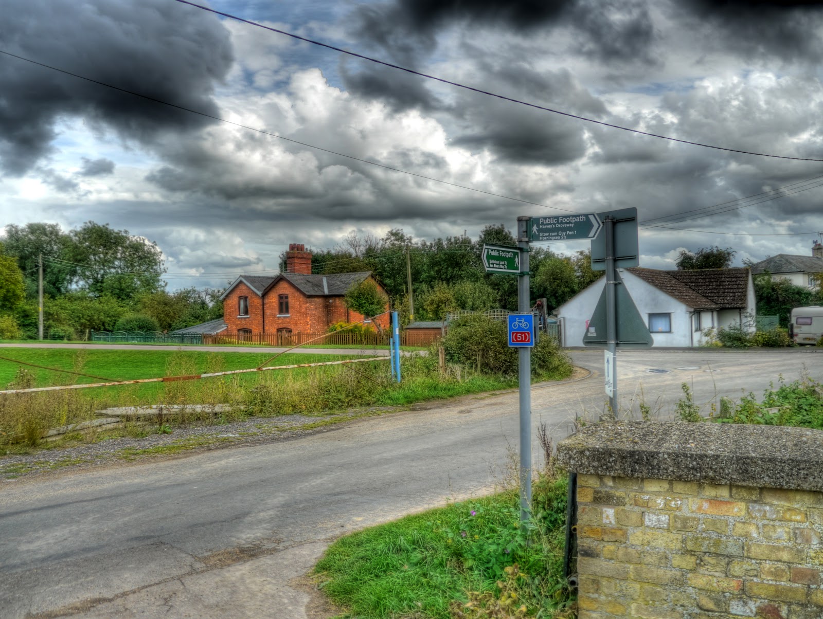
A picture of the old Bottisham and Lode Railway Station in Lode. It seems to be quite a substantial building, but also appears boarded up.

There are now signs in Lode indicating the Sustrans influence. This one with (51) implies that if you carry on you will get to Sustrans 51 - true. The Lode Station is to the left out of shot, in this picture you can see "railway cottages"? My route took me left away from Lode (the village).
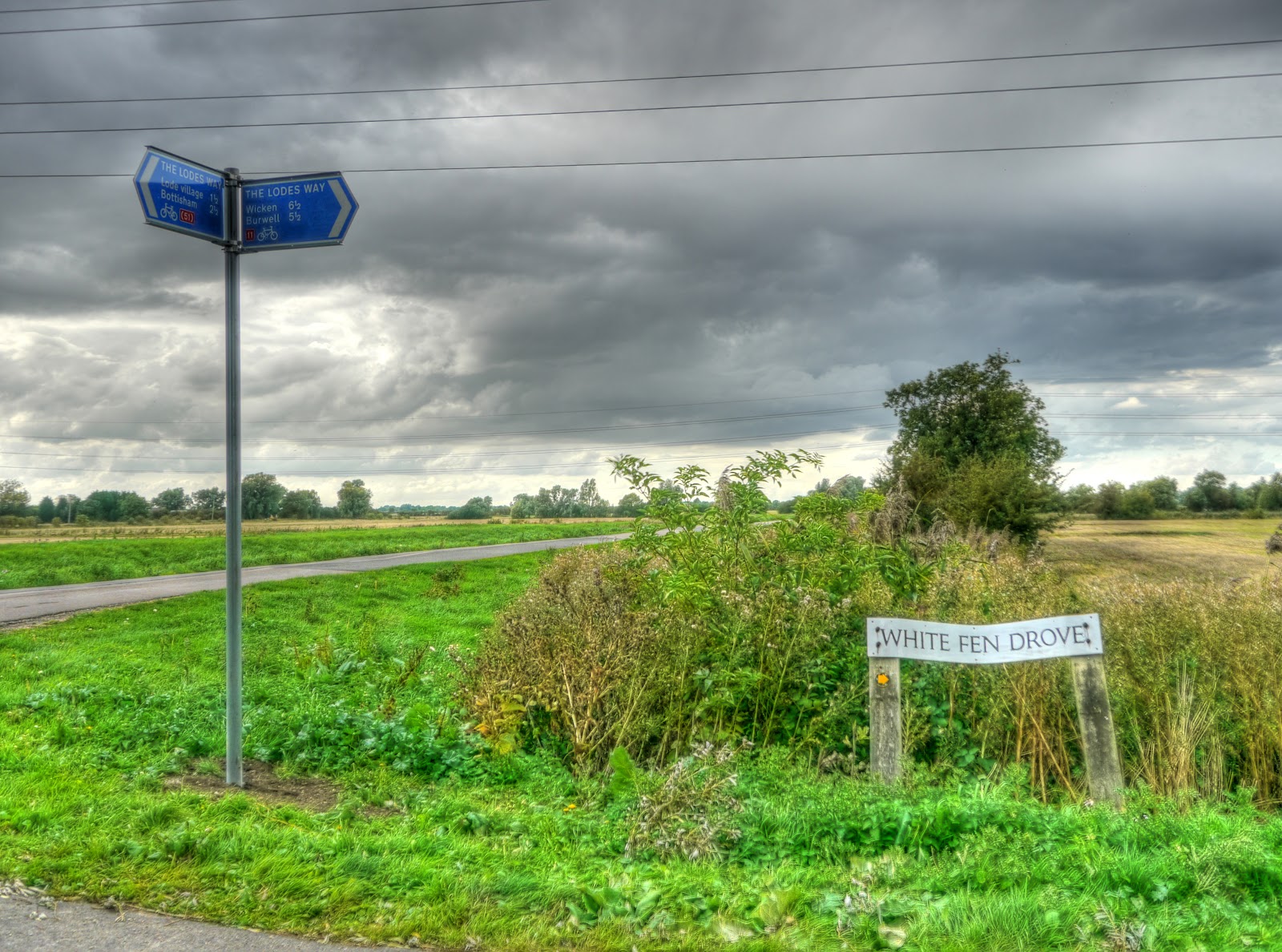
After a short cycle down Fen road there is the turn to White Fen along White Fen Drove. Again this has acquired a new sign - it indicated the Lodes Way along with information on places, distances and Sustrans route numbers as well. The signing on this route is exemplary - how can you not cycle along it!
Whoever decided upon the siting of the signs has been thorough and moved away from the idea that you need a map to be able to navigate such routes. This seems sensible given the trend towards replacing paper maps with SatNav for car use. It should also make these cycling routes more accessible to non hardcore cyclists - which is definitely a good thing. One of the challenges that we face in getting more people on bikes is both to reduce the perceived danger and the need for loads of cycling clobber (e.g. Lycra clothes). Cycling has got to be normal.

After crossing the Swaffham Bulbeck Lode bridge further signage warns of a public road ahead.

As a reminder here is the "just crossed Swaffham Bulbeck Lode Bridge - it looks nicely aged. Unfortunately you can see the join from the two pictures that make up this scene. But you get the idea.

I guess that as this route makes good use of all sorts of different roads and tracks then they have put signage up whenever there is an ambiguity. In this case the road carries on around a bend, but there is a track into a field straight ahead - so a small sign is used to assist first-time Lodes Way cyclists/walkers.

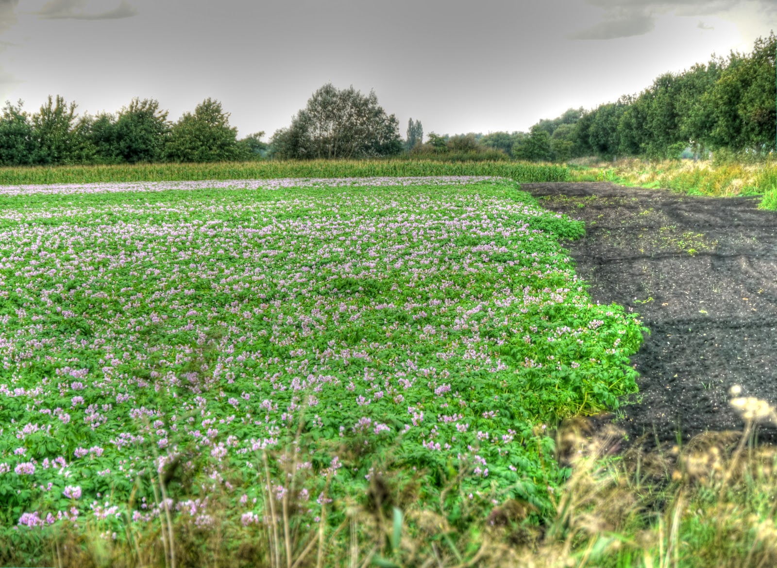
As I carried along the Lodes Way I stopped to take a picture of these flowers growing in one of the fields alongside. I did think that maybe the colour of the flower would help to identify the type of potato growing - but there are a few that have purple flowers.
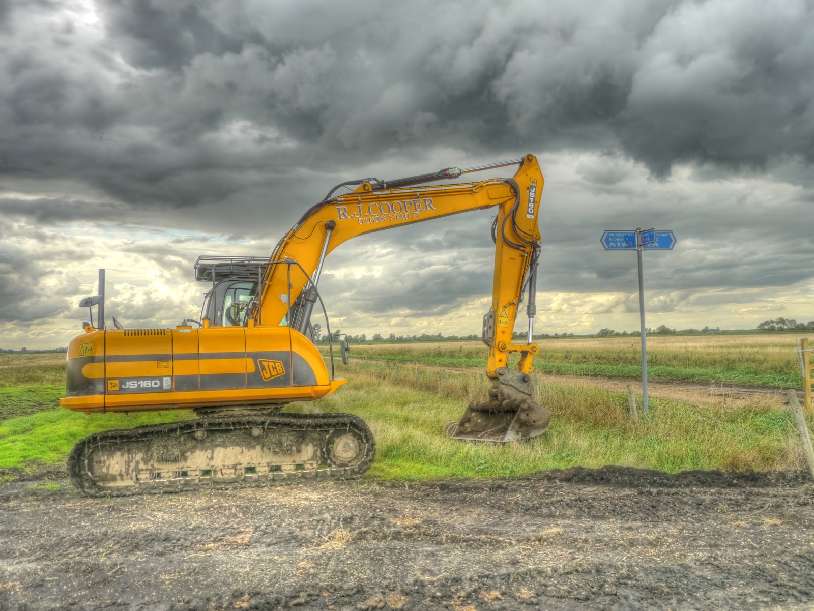
One of the good things about Lodes Way is that it makes use of some very quiet roads that are hardly used. This is one such road, essentially it goes nowhere except to some fields and a shed (and some byways) so the only traffic you normally see is the odd tractor and sightseers looking at the Reach Lode Bridge Construction. Even then the route maintains a high standard of signage.
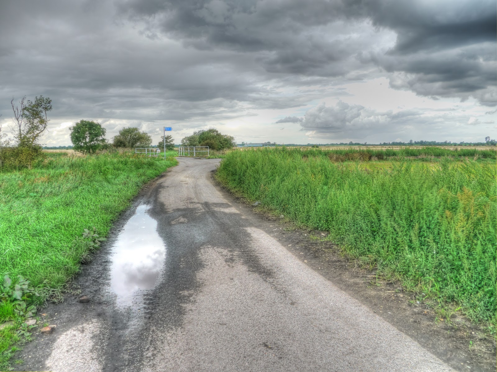
This is the route the sign is pointing out - the clouds are looking darker. The ditch down the middle of the pictures is Commissioners' Drain, the road heading off right is Split Drove - along which the Lodes Way goes.

At the bottom of Split Drove more good signage although the bridge gives it away. Mind you there is a byway between Reach and Upware that is crossed at this point -hence the byway signs on the pole. The byway is Straight Drove.

Although there was temporary fencing around the bridge had been left open. The lumps of concrete are are presumably to stop motor vehicles making mis-use of the bridge. There are good views of the surrounding countryside form the bridge - I didn't like the look of the clouds over in the Cambridge direction though. (This picture looks back along the way I had come.)
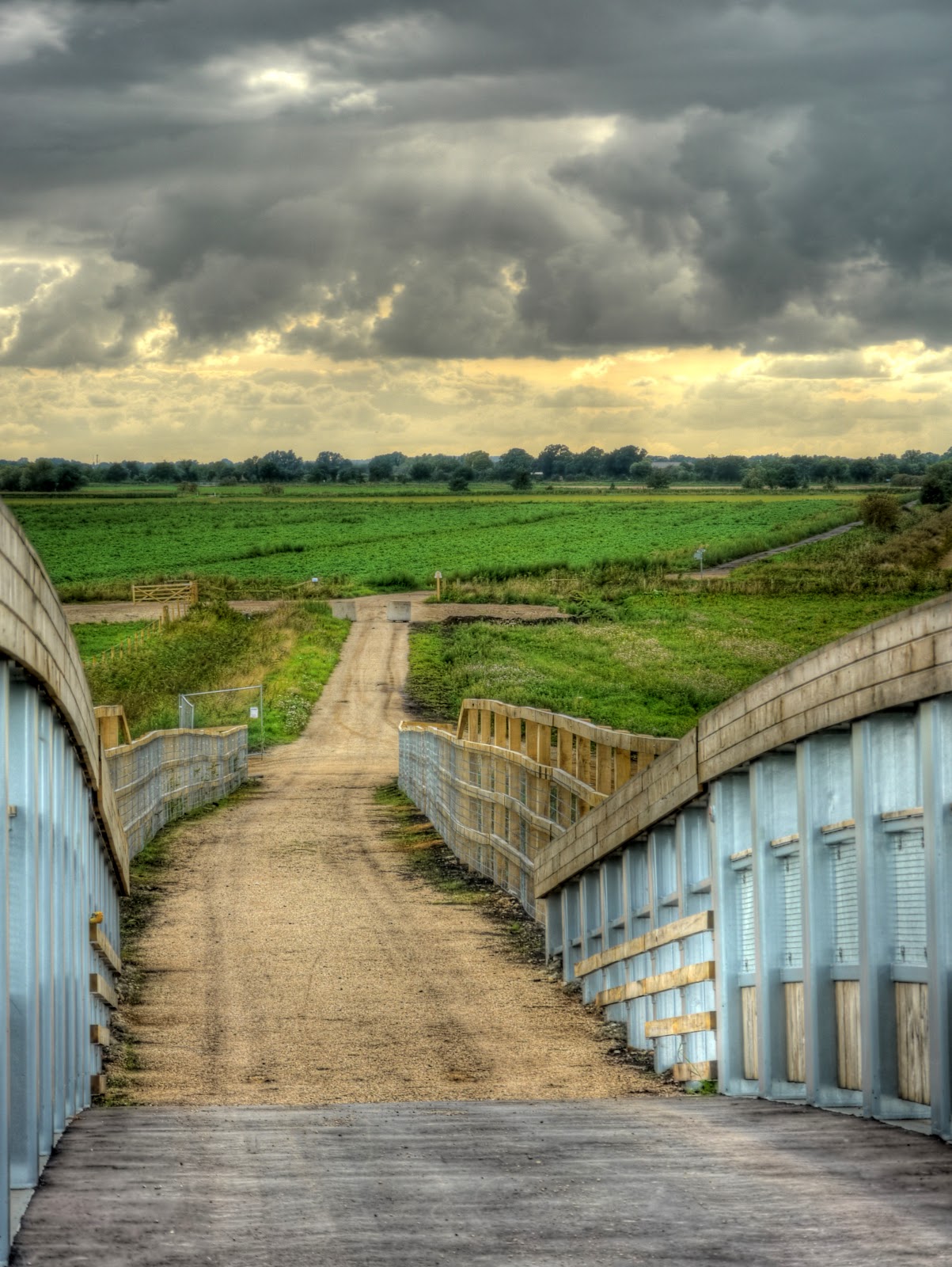
There was still some work to be finished on the other side of the bridge although when I cycled through I did not see any work being done. Mind you I can't remember what time it was. This bit of Lodes Way passes over previously pretty unaccessible Fenland - the signage also shows nearby villages. In this case the sign points to Burwell 1.5 miles away and Sustrans 51 which passes through Burwell. The route is a "red-dot" track (as seen on a 50K OS map) and passes down Hightown Drove
Further along the Lodes Way the route crosses Newnham Drove, which will also take you to Burwell.

This is what you see looking down Newnham Drove towards Burwell (a red-dot route). Next time I pass these parts I must try out the Drove.

The view of Newnham Drove the other way, although it might not be named at this point. The buildings are called Burwell Fen Farm - but look like a couple of tin sheds - no evidence of a farm house (from here anyway).

When I stop I take a few pictures, if there is something that looks interesting so five got taken looking in all directions at this point (Lodes Way/Newnham Drove crossroads). Here is the Lodes Way path I had just cycled along. You can see rain in the distance - in fact it looks as if the path leads right to it.

The "end of the road" at the time of cycling the only way through to Reach Lode was to lift my bike over the fence and then clamber after it. Trying not to do any damage to myself on the strand of barbed wire running along the top of the fence. I am getting better at it - the last time it felt a bit tricky - this time I got over pretty swiftly. The old barbed wire fence climbing skills of my youth must be returning. (Note the barbed wire fence has now been removed, I checked)

I prefer not to cycle back the way I came - I don't mind little bits of back-track, but in the main prefer to take circular routes. In this case I cycled around Wicken Fen, making use of a footpath for part of my route - so it is not something to recommend. This is the way out of Adventurers Fen. Not only has the Lodes Way had a bunch of signs there are also new signs around Wicken Fen indicating which Fen you are entering. Although according to my map it looks as if it should be called Little Fen.

After looping around Wicken Fen I returned via Sustrans 51 through Burwell and Reach detouring through White Fen and then back through Lode and Bottisham. Interestingly in Reach, off Sustrans 51 there was a small sign indicating the way through to (11) which means the Lodes Way version of Sustrans 11. There is a route through to the Lodes way down that no through road and then along Straight Drove - it can be quite muddy and rutted though.

Since there was a fair bit of the journey left you might wonder why no more pictures, I don't normally just stop taking pictures. Except when there is torrential rain and yes despite the weather forecast indicating sunny spells I got caught in the rain that I could see following me as I cycled out towards Wicken Fen. It rained really hard and once again I got soaked. It was so bad that I had to take off my wetter clothes in the hall before going into the kitchen. I also had to take my camera and phone out of their bags to stop them getting wetter as they were showing signs of damp. Mind you there is nothing like getting soaked in torrential rain to make a hot bath feel absolutely fantastic. (A glass of cider with my supper was also very welcome.)
The footpath to the east side of Wicken is known locally as the Maltings Path. No-one has been able to tell me where the old maltings stood. I cycle it frequently, and have found no problem with doing so.
ReplyDeleteThat transition from the new "Burwell Fen" track to the footbridge is a real nuisance, and I was on the phone to the project manager this evening after checking its state (to my surprise, I expected his voicemail service). At the moment we have to live with it for possibly some weeks, but there are known ways to improve it for the 2-3 (4?) years until the new bridge over Burwell Lode is built.
There will be a public display of the proposal for the Burwell Lode bridge at the Gardiner Memorial Hall, on High Street Burwell, from 11:00 to 13:00 on Saturday 18th Sept.
If any readers of Jamie's blog attend the Reach Lode bridge opening J's recent photos reveal that I have a bushy white beard, and on I'll be riding one of Denis of Grunty Fen's bikes, a 1939 Sunbeam "Light Tourer". Be pleased to meet you.
MikeC
Flip - there is also the Monza Grand Prix on Sunday - decisions, decisions.
ReplyDeleteJamie
I follow F1 closely too, so I'll have a shirt-pocket radio with headphones for the Five Live commentary on Sunday.
ReplyDeleteDon't tell me what is happening me if I do make it!
ReplyDelete