I am getting a little bit behind on my posts. What I generally do as it gets closer to the weekend - or some time when I can go for a longer cycle ride and the weather looks OK I have a look at the map - generally where's the path and have a look for interesting places I have not been before. Sometimes this will mean a longish ride out of the county with a train ride back which allows me to go further afield. There are some interesting places - Norwich, Cromer, Ipswich, Peterborough, Kings Lynn and London have all places I cycle to. London features least - the routes are interesting and I don't mind cycling in London - but there are restrictions on which trains you can carry a bike on (not the rush hour trains) and even the non-rush hour trains can be pretty busy and expensive.
At the moment with the fine weather and because it has been dry recently I have been looking for for routes that are more off-road. A route I like is to follow is an off-road route from Histon through to Aldreth, part of which is known as the Aldreth Causeway - believed to have been one of the ancient routes through the Fens before the drainage work radically altered the Fens.It also passes an old Earth I also cycled along the Cambridge Guided Busway (CGB) to get to Histon - not a bad route and it avoids an unpleasant roundabout which crosses the A14.
What was more interesting though was the route from Aldreth through to Over - the OS map indicated that it was possible to cycle from Aldreth to Over along a series of byways and farm roads. (My definition of a farm road: a right of way - but really only used by farmers to get to and from their fields and generally not well cared for.) I have shown the route on the OSM Cycle map. (See a previous post, problems getting my actual GPS track onto two of the many cycle route mapping sites). This map does not appear to be complete, part of the route from Aldreth to Over has not been mapped. Maybe I should look into assisting in the Open Map work - since I do map all of my routes and there are areas that I cycle that have not been mapped to date.
What I like is that even with good maps it can be tricky sometimes when you are "on the ground" to suss out the actual route. In this case I did print out and highlight the route I wanted to follow - but sometimes tracks are not always visible and as I don't want to keep stopping I do sometimes just "guess". Normally routes marked as roads are always ok on a bicycle, it is the byways and bridleways that can sometimes be tricky.

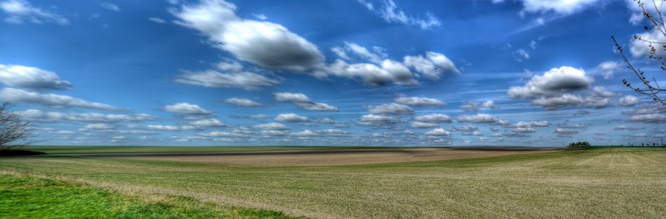
As I took the long way around Cambridge on my way to Milton Road and the CGB I stopped just opposite Marshall's Airfield in Cambridge to take this picture of the oilseed rape coming into flower.

After cycling up the CGB to Histon I cycled through the town to the start of the bridleway. A couple of bits of cycle-related "street furniture" caught my eye. This one has been designed to provide a more direct route for cyclists whilst the intention is that motor vehicles are presumably slowed down. Maybe I am being picky, but I am not really sure it is why it exists. It does help to remove cyclists from the pinch point caused by the protruding pavement, which is probably a good thing. having been knocked of my bicycle by a car driver in Histon in a SMIDSY (sorry mate I did not see you) keeping cyclists away from motorists sounds like a good idea. However this only works for this one corner - and you still have the need for the two streams of traffic to recombine - who has right of way? In addition I think that the marking of this particular "short-cut" is visually poor - if you are cycling up here at say 15-20mph (25-32Kph) there are suddenly barriers in the road and with the shade of the tree the middle one is actually quite dark - as you take the detour kerbs become an issue - not all drop-kerbs are equal, especially when you take them at an angle, which in this case means both the exit and entry points. I also presume that the junction confused a motorist since there is a temporary cone on the corner of the protuberance.
So we have a feature that has little impact on a cyclists momentum, since you can take a corner like this without slowing too much. It is unclear to me whether it makes it safer for a cyclist or not. It does at least have a lamppost to assist in making it more visible at night. It seems a little ad-hoc though.

This one a little further up the road is even more confusing. What on earth is this supposed to do? Yes I suppose it narrows the road and so potentially slows down motor traffic. There is a by-pass so cyclists do not get caught up in the pinch point - but then they allow car parking straight afterwards. Perhaps this is supposed to selectively slow down cyclists and get them out of the way of cars so the they can go faster. It also provides some protection for the parked car, but for cyclists it is awful - you end up having to negotiate a small gap with some nasty kerbs each side (pedals and kerbs don't mix!) and you have to slow down and look back because there is a sudden swerve to avoid the parked car and you also need to avoid getting slammed by the parked car's door.

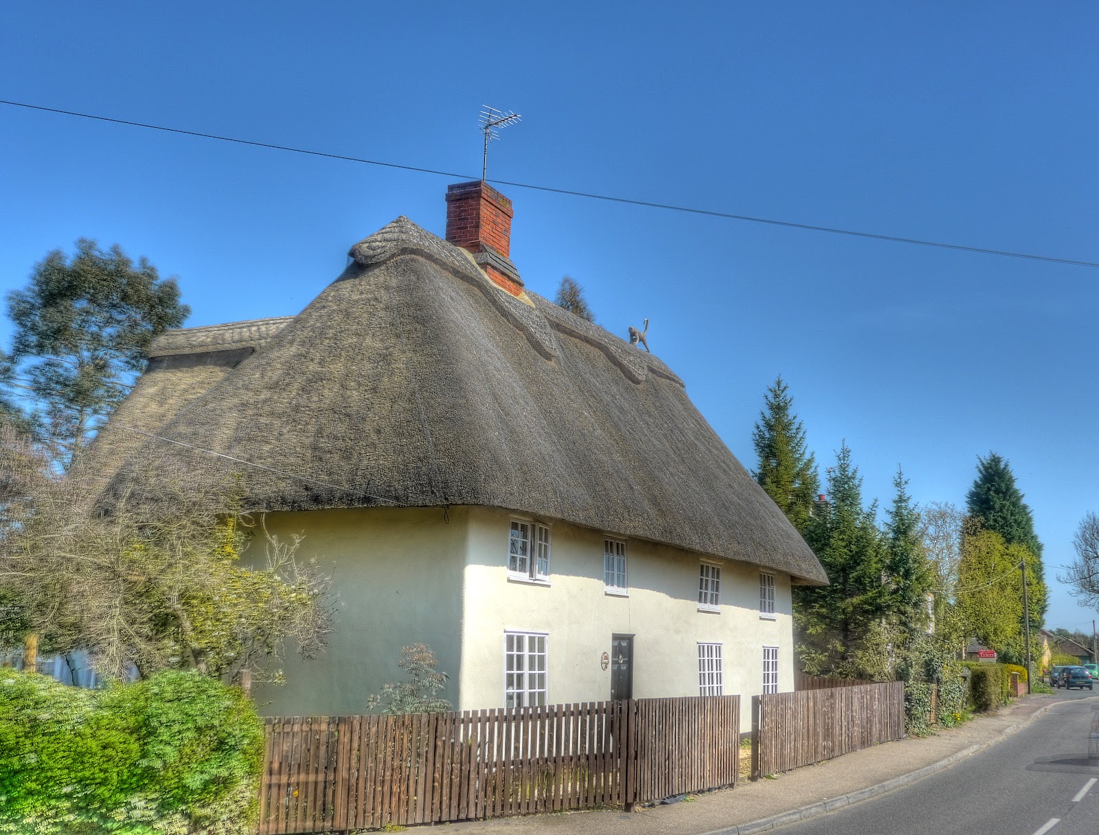
Look at the blue skies behind this thatched cottage in Histon - the Thatch art along the top - is a monkey - makes a change from the usual pheasants.
You get to the bridleway along the Cottenham Road, if you look at this Google Streetview picture you can see the turn-off point. Be careful of the deep gravel - this was the hardest bit of the entire route to cycle along as it is a bit unexpected. The route then heads out into some open countryside. This picture looks back along the route of the path - it winds nicely around the fields. The surface is pretty reasonable, mud ruts in places and gravel in others.

This is Cottenham Lode - at least that is what it is called further along on the map. You can just about make out a hanger type building behind the tall tree. That is the Oakington Immigration Removal Centre, just the other side of the CGB.

The Lode runs alongside the route for a short while. That is the sort of track I like - packed mud with glorious views all around that you can safely look at whilst cycling. There are some bits where I had to concentrate and so was not able to pay so much attention to the view.

The same view, zoomed in, although it looks like a bridge is seems to be framework to support a pipe.

Still at the same place but look back along the track - pretty good for cycling not too gravelly. I did meet a few people walking dogs and one cyclist.

I had stopped where the Lode and path cross - this is the bridge.
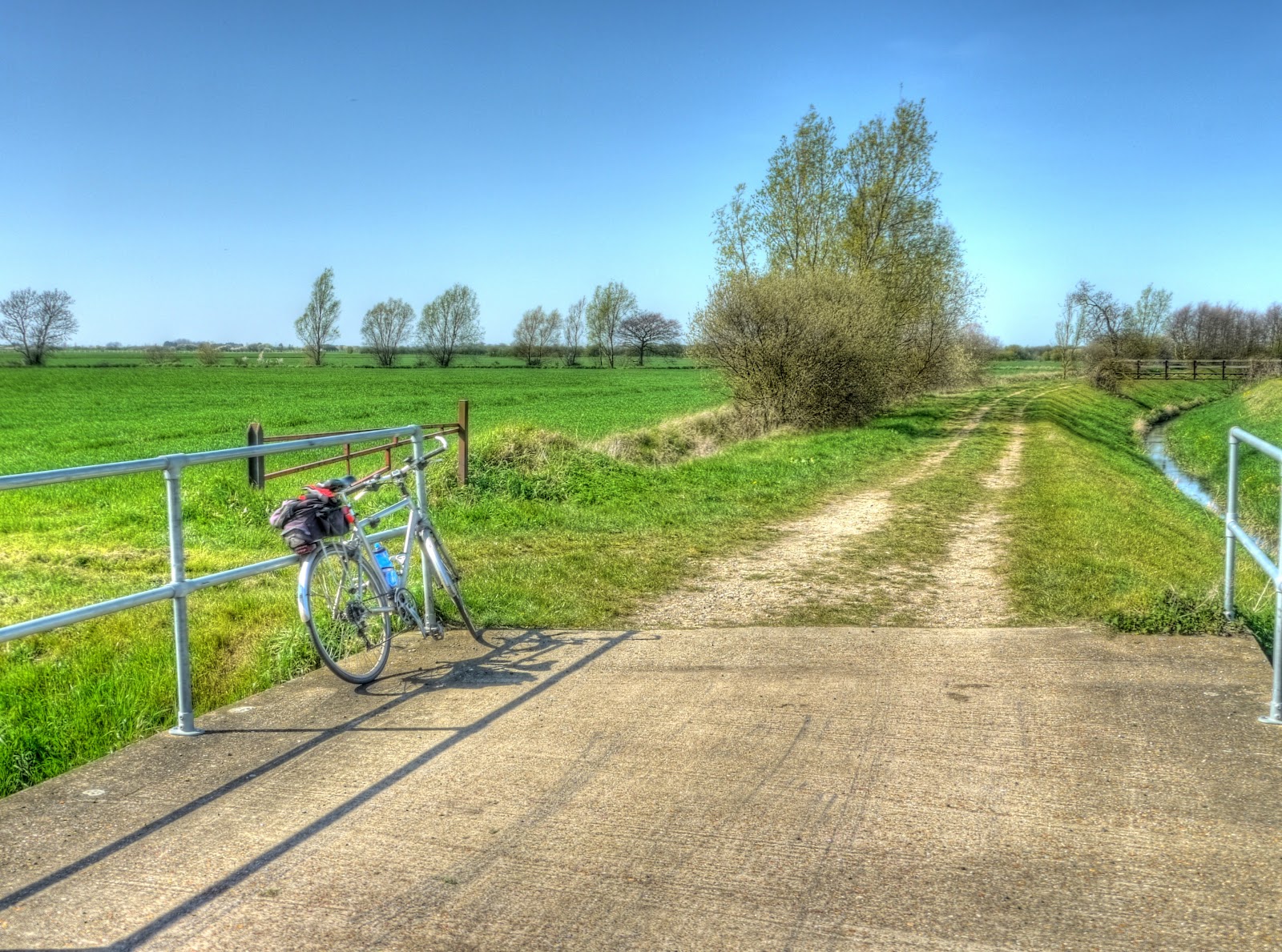
The route then briefly runs through Rampton, when it joins and then leaves a road before coming to a T-junction, turn left and then head round and at the second bend go straight on. There is a path peeping out on the right. The path then carries on like this - my bike had a rest whilst I took some pictures. Look at the leaves coming out on the tree.

The path emerges on Irlam Drove where you turn right and then left onto a continuation of the path. In this Streetview picture you can see a Traveller caravan - there are a couple - they looked deserted when I went past. I have seen washing hanging up in the past - but don't let it stop you I have been past many times and never had any concerns. At this point the route goes through Belsars Hill the site of earthworks in uncertain provenance.
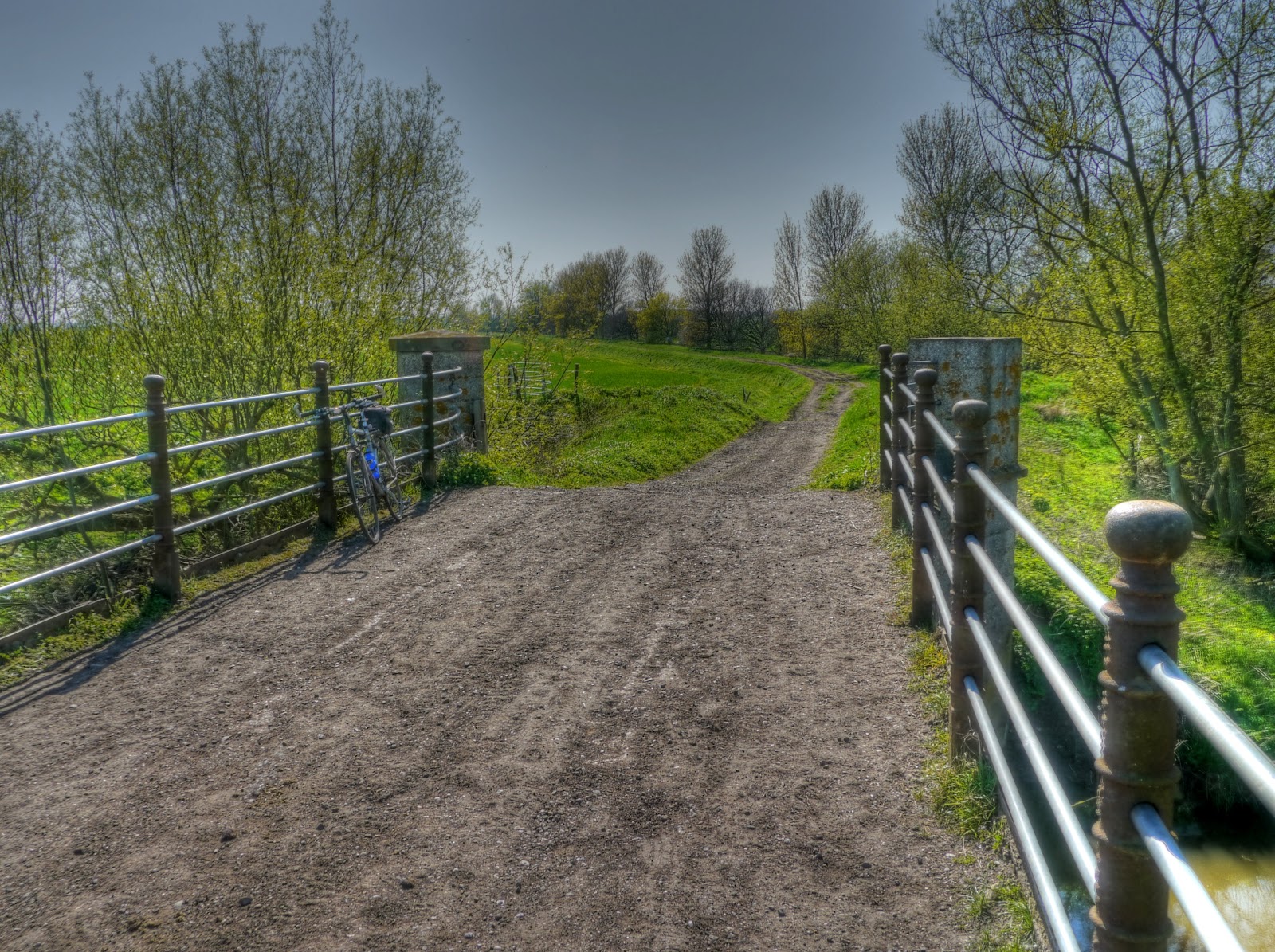
At one point it got quite bumpy and my GPS flew off the handlebars as I stopped after one large bump. All of this recent cycling on rutted tracks had caused the handlebar mount to break - I popped the GPS unit in my cycling shirt back pocket where it carried on to work ok. The route carries on with some less well travelled, more grassy parts as well as some more deeply rutted parts until it comes to the River Great Ouse - and yes there is a bridge. This is the view from the Aldreth side of the bridge looking north.
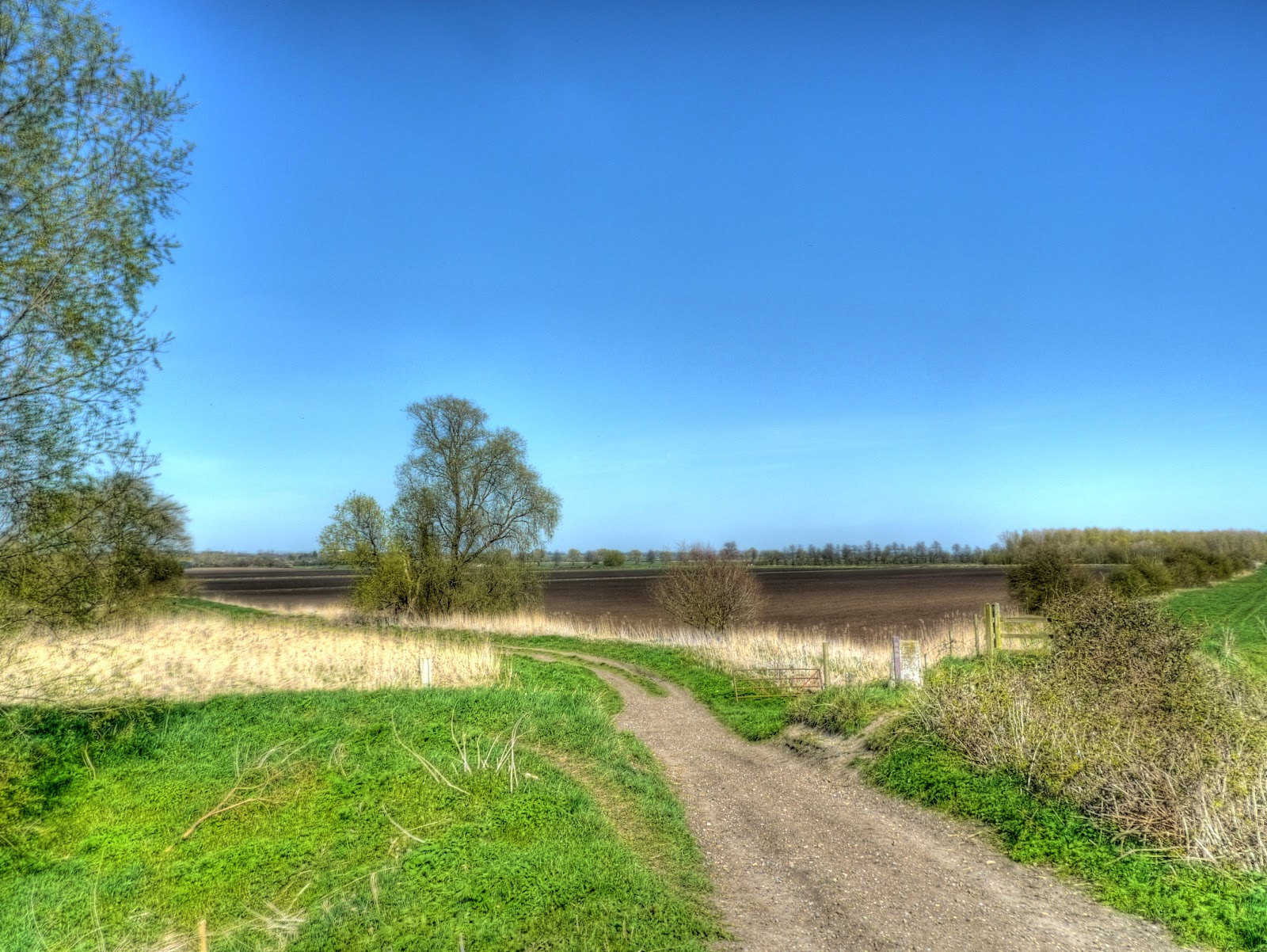
A closeup of the tree in the previous picture - it looks as if the leaf painter has only just started blobbing green pain on.

The bridge, looking back south towards Cambridge.
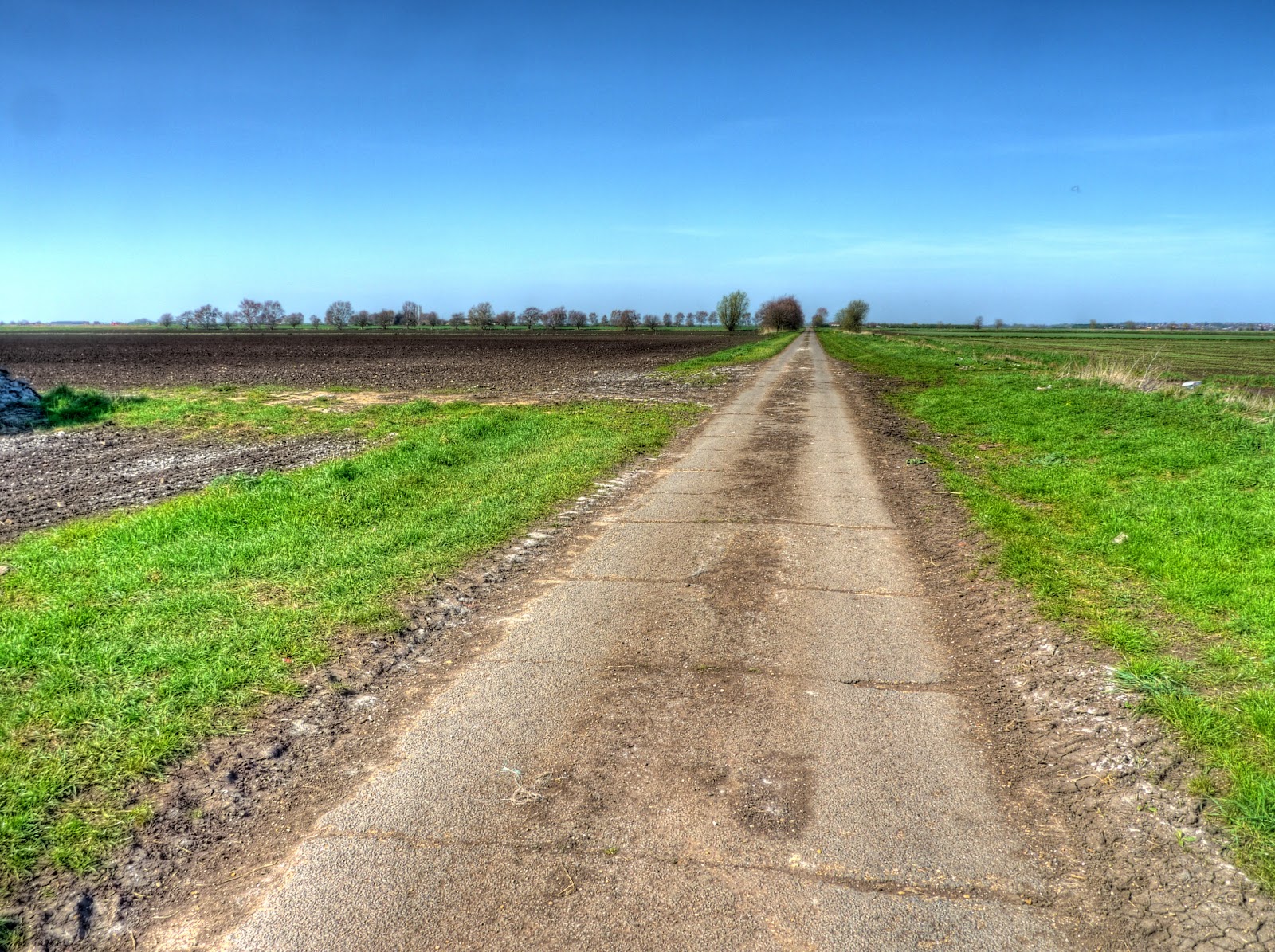
I normally head through Aldreth and turn right when I get to Haddenham. In this case I turned left before quite reaching Aldreth along some deserted country roads. There are a few paths and roads along the route and so it was interesting navigating along this, to me, unknown route. According to the map the tracks I took were: The Boot, Dam Bank Drove, Gravel Pit Drove and finally Upper Delph Grove. I met some horse-riders also enjoying the beautiful weather. As is usual there were some crumbling farm buildings along the way that had fallen out of use.

The roads seem to have been constructed from concrete slabs, which seems standard out here in the flat lands. When cycling along them there is quite a rhythmic thump, thump.
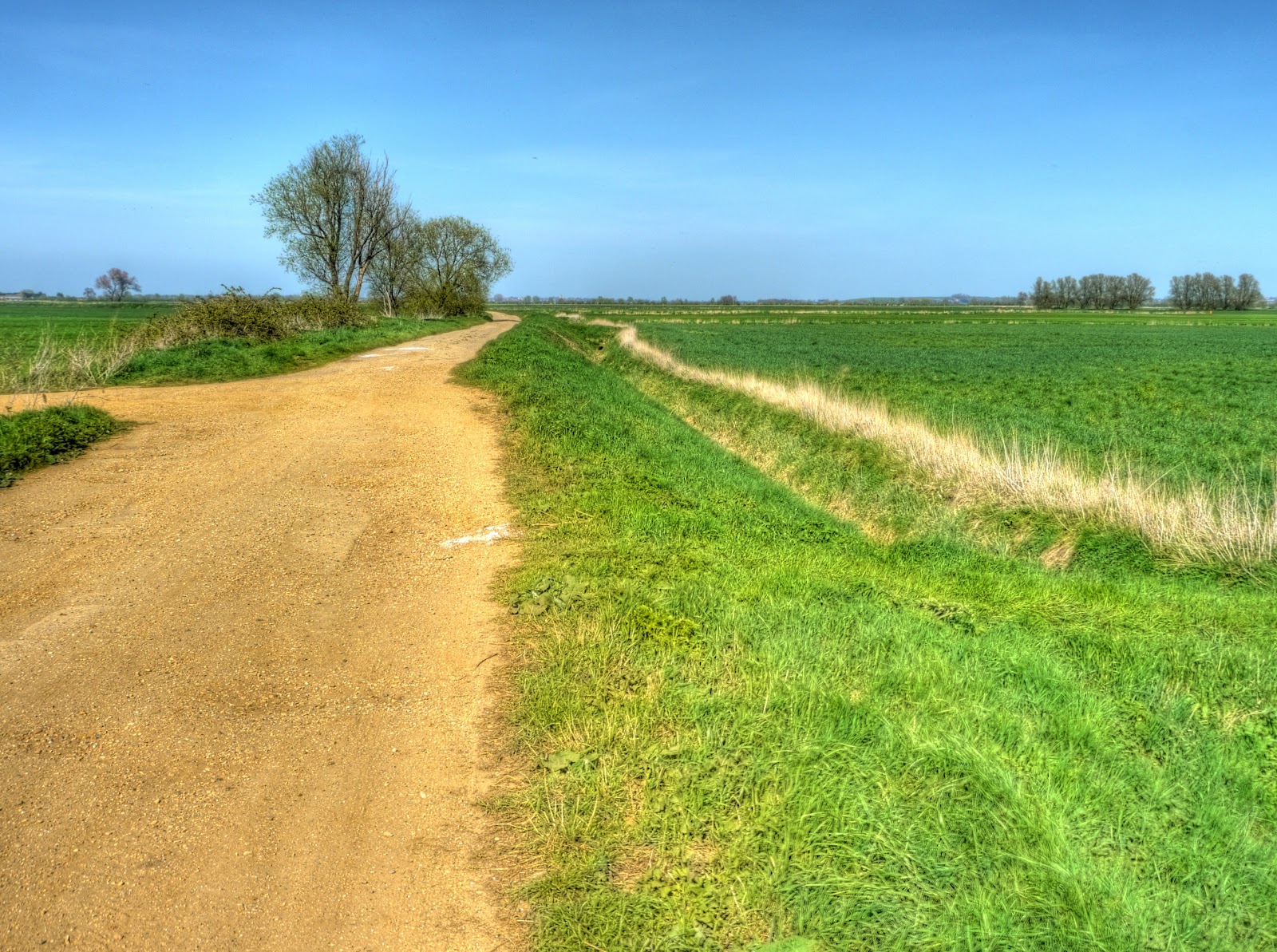
The track emerged onto the A1123 here - a left turn and after a brief cycle I reached Hermitage Lock. There used to be a Railway Station here called Earith Bridge Station part of the St Ives to Ely Railway line - no sign of it now though. At the bridge my first attempt at finding the route to Over led to a footpath - so I resigned myself to cycling along the road to Willingham when I noticed this track which led to a bunch of tracks like this one in the picture.
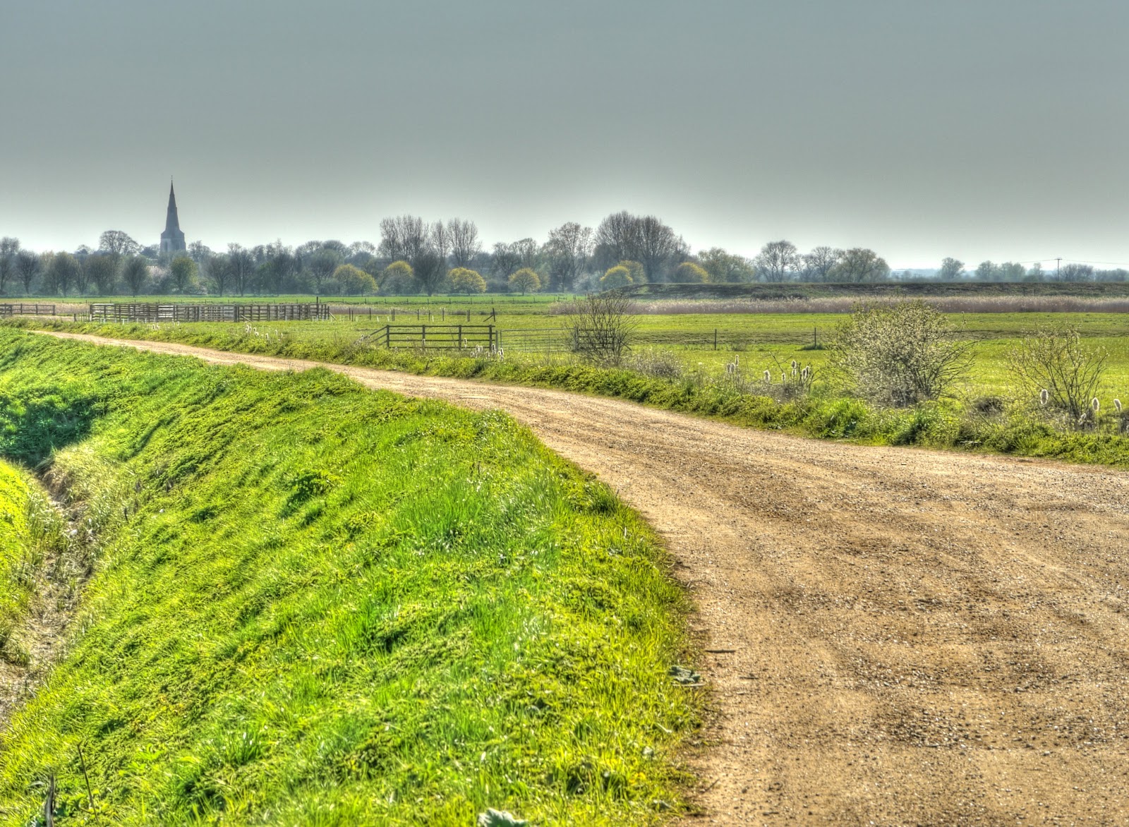
The track as it approaches Over - you can see the Church Spire in the distance.
It was a great run, there were several alternative routes through to Over in the final stages and when I emerged onto a road in Over it took me a little while to work out where I was - although I had been on it quite a few times in the past. In Over I also almost got wiped out by a car - the driver was behind me and even though a car was coming the other way he, yes he, could not wait. He overtook me and then swerved right in front of me forcing me to stop (or it would have been wipe-out time). The guy clearly either has no sense of space and time and should not be allowed to drive a car - or deliberately went for me and in that case should be locked up. I was too shocked to take his number plate.
One thing none of the pictures show any aeroplane contrails - there are still no planes flying in UK airspace - is it just me or can you feel less weight in the sky?
The return to Cambridge along Sustrans 51 was much less eventful.


