Tuesday, May 31, 2011

Recent books I’ve been reading

As I have been riding around the Fens and Wicken Fen in particular I suppose I have become more interested in the history of the place. Now at this point I should point out that at school history and for that matter geography were a bit of a chore. I was far more interested in maths and the science.

However when I started travelling around the world a bit more the pieces (of the globe|) started dropping into place. The stuff I learnt about the dust bowls in the US became more interesting when on holiday with my family in Monterey, California I bought a few John Steinbeck books to read such as Cannery Row and Of Mice and Men. Now at this point I should admit to having such a deep love of reading, such that I will almost read anything. I stop and read planning notices on telegraph poles and look at the for sale notices in shop windows. At the moment I probably have 4 or 5 books by my bedside.

As an aside, it started when I was young and centred around novels. In particular the Swallows and Amazons series by Arthur Ransome.  At the time I lived in Somerset and the Mendips were my playground. Like the Lake District in which the early Swallows and Amazons books were set we had mines and hills and gullies and potholes to explore. The Arthur Ransome books resonated wonderfully with my childhood, except it was only later in life (well when I was 17) that I had the opportunity to learn to sail  on Chew Valley Lake. In my 2 class primary school when the headmistress retired the year before I left she gave me a copy of Arthur Ransome's Winter Holiday (it was my favourite) as her leaving present to me.

As a result when my kids were growing up we regularly holidayed in the Lake District and went on the Swallows and Amazons cruise on Coniston Water. I had read all of the books to my son as bedtime stories and my son (nine at the time) answered so many questions that the “captain” suggested letting someone else have a turn.  They didn’t know the answers though. (The current cruise is on a solar-electric launch I thin when we did it it was steam, but I could be wrong.

Later in life I added biographies and auto-biographies to the list as well as business books, both textbooks and the lighter pop-business books and books about the countries and the peoples or the places I visited. I can’t claim to be a great linguist either, but I also made sure to get a Berlitz phase book for all the places I visited. I think even a few words helped to break down barriers.

So in my more local travels along Lodes Way and around Wicken Fen MikeC has been inspiring me to learn more about the area and mentioned two books. The one I acquired first was “The Farm in the Fen” by Alan Bloom. It describes the challenge Allan Bloom took on  to reclaim a tract of Cambridgeshire Fenland  for agriculture.  The tract of land happens be right next to Wicken Fen and was centred around Priory Farm. The book is no longer in print but I managed to get a relatively cheap copy. As it turns out it is an ex-Wiltshire County Council library copy and at one stage was to be found in the Lackham College of Agriculture library with an associated farm – Lackham Farm.

The book covers the period from 1938 to 1943 and was written in 1944. My copy was published in 1977 with a “new” postscript. Despite being written over 65 years ago the language has a contemporary feel and illuminates some of the “mysteries” of this part of the Fens. It highlights how the “drainage Board” worked (or didn’t in this case) and the importance of food production during the WWII years.  Such was the importance that the King and Queen visited to see how the land had been won back for agriculture. There are pictures of the new concrete road along Harrison’s Drove – anyone who has been up Harrison’s drove recently will agree with me that the original concrete road is still there – without any repairs being made in the mean time. There are also maps of the area – which show Adventurers Fen North of the Lodes Way rather than Burwell Fen as it appears on the Lodes Way brochure. Maybe the fens wander around a bit?

What I hadn’t realised was that Alan Bloom also founded the Bressingham Steam Museum and Gardens near Diss. When my wife’s grandmother was alive and my kids were quite young it was a great day out. She loved the plants and flowers growing in the gardens and the kids enjoyed the the steam attractions and the ice creams after the picnic we would take. It turns out that he wrote over 30 books and the Farm in the Fen was his first.

At the same time I also read two other books about the Fens both written by Rex Sly a Fenland Historian and Author and Fenland Farmer.  The books were written more recently – “From Punt to Plough” – 2003 and “Fenland Families” – 2007. They give an interesting insight into the greater fens area and the dramatic changes that have occurred in the the lives of some of the inhabitants of the fens as they have gone from swamp to agriculture and horticulture.  In some way they also give an insight into the changes that modern transport and technology have affected our lives. The draining of the fens opened the area up and the advent of modern transport systems has had a marked effect on this area of the UK.

Just as agriculture is important so is nature and the diversity of nature. There is tension here in the Cambridgeshire area of the fens between those who seem the importance of agriculture and those who see the importance of natural diversity.

We have the Wicken Fen Vision, a 200 year ambition to create a new nature reserve of over 53 square kilometres between Cambridge and Wicken Fen. (Here are the Wicken Fen newsletters – the latest – Oct 2010 has a picture of how the new Burwell Lode bridge my look on the Lodes Way.)

At the same time there are others who deplore the loss of such valuable agricultural land, hard-won over many years – such as Geoffrey Woollard.

Which nicely leads onto the next book I have read recently- Adventurers Fen by E.A.R. Ennion.  Born in 1900, the son of a country doctor, he came to live in Burwell with his family in 1904.  He followed in his father’s footsteps and studied medicine at Cambridge and joined the family practice in 1926. However it would seem that from an early age that natural history was his true passion. At the end of the war he sold the Medical Practice and moved to Flatford Mill in Suffolk to become the first warden of the Field Studies Centre there, before establishing his own Field Centre and Bird Observatory in Northumberland. This book is written from the Naturalist’s perspective and it documents Adventurers Fen’s return to the wild, or at least the first steps.

It harks back to a less frenetic age – at least for someone of his social standing where it was possible for him to spend time amongst the wildlife and in my limited experience seems to have been much richer in those days than it is perhaps now.

Personally I think we have to do both – we have to pay attention to sustainable agriculture and to sustaining the diversity of nature. When its gone it is gone.


Riverside on Riverside

My cycling has been interrupted a little of late and not just interrupted but ripped apart by great chunks of driving – perhaps a bit melodramatic – some driving. Actually I have had to pick up a load of stuff for my son who is moving. This meant a 300mile plus cross-country drive in the build up to the Bank Holiday weekend. I took a cross-country route to avoid the M25 and against the “advice” of my Satnav, It wasn’t too bad actually, although even minor problems turned into queues quite quickly.

My Satnav (and Google Directions) both showed a 199mile route via the M25 which would have meant a total of 400 miles and so another 100miles of driving and in my view more likelihood of getting caught up in problems on the M25. And, let’s face it “male motorists are more stressed by traffic jams” according to the Daily Mail. Apparently it is the “flight or flight” instinct that affects us men.

One bit of good news is that I didn’t get stuck behind a tractor – “spend 80 minutes on a country road and you WILL get stuck behind a slow-moving farm vehicle”. Apparently there are 250,000 tractors in the UK and the more positive news for drivers on rural roads is that the delay is only 1.2 – 3.1 miles. Personally I think that tractors on country lanes is a good thing – they help to either put off motor vehicles or slow them down. Which for a cyclist on country lanes is a good thing. Although I suppose the downside is that a held-up driver might drive faster to “catch up”.

Perhaps this “Motorist on two mobiles” was just trying to catch up on work whilst stuck in the car. Apparently his car wasn’t insured either.  Even more worryingly it was near Norwich – although on the A47 a road that I even avoid  crossing when cycling.

The trouble with road safety is that it only takes one idiot to cause serious or fatal accidents and undoubtedly speed is a factor when it comes to the probability of an accident and also a significant factor in terms of the seriousness of an accident. Or as this Guardian article puts is: “Speed camera switch-off empowers reckless driving”. It points out that in the 8 months without cameras there were 18 deaths on the roads in Oxfordshire, whilst for the same period the year before, with cameras, there were “only” 12.  Without other data I am not sure quite how significant this number is, however it is pretty shocking. Each of these is a tragic event.

It is difficult to get a good “feel” for just how I as a cyclist should perceive my levels of safety on the roads. Let’s face it I must feel OK as I cycle more miles than I drive, although I try to avoid fast roads, I try to follow shared-use paths, off-road routes and country lanes. I do think though that cycling has become more dangerous on the roads than it used to be. I put this down to an increase in traffic on the roads and a significant decrease in the courtesy shown to cyclists by other road users. (The decrease is sometimes unintentional and sometimes intentional.)

I am not the only one, “Americans slow to embrace walking and cycling” discusses the issue that despite 25% of trips in US cities being a mile or less and 40% two miles or less cycling is on a continual decline because of the “real and perceived dangers of cycling in the US"… because of the lousy pedestrian and cycling facilities”.

Mind you  maybe I am my own worst enemy – “We smug cyclists just bring out the worst in drivers” is an article that points what it is that irritates drivers so much about cyclists. Yes I have had a car driver shout abuse at me as I cycled on the road along the lines of “get off the flippin’  road and on the flippin’ cycle path” – although perhaps I misheard him slightly. One of the things that  irritates motorists is that we carry on when they are queuing – it’s that flight or fight problem – they can’t flee so they want to fight!

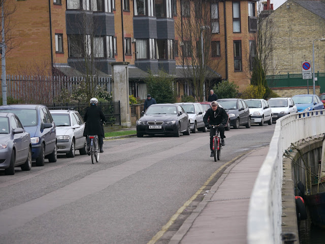
So these all lead to me cycling on off-road or quiet routes through Cambridge such as along Riverside.

And it was Riverside when I found myself listening to Riverside. I top up my cycling levels when not cycling by looking at various cycling related blogs including Copenhagen Cycle Chic which is where I came across this post  about Agnes Obel – cycle chic. I watched the Youtube video and was entranced – I have fairly eclectic tastes in music and my next few clicks were to order it from Amazon and it turned up 24 hours later. If you can’t be bothered to follow the link here is the Youtube Official Video.

It was a coincidence that I happened to be listening to Riverside as I cycled along Riverside but fitting. In fact I liked it so much I bought the Deluxe Version – something I don’t normally do.  Here is her Wiki link – Agnes Obel.

Maybe if more drivers listened to this there would be less road rage on the roads.

Friday, May 27, 2011

No way out of the Hockwold Fens–Part 3

Wednesday, 25th May:A quick recap – lovely day, not much cycling for the previous few days, so time to explore the Hockwold Fens, via a few byways and a mid-morning start. Not all exploring works though so I had to backtrack – where it says blocked and there are red dotted lines. The navigable route shown is available on this Bike route Toaster Link and is 130Km/ 81 miles long.

This is the last leg of my journey, I was planning on cycling from Hockwold along a byway known as Cowle’s Drove down to the banks of the River Little Ouse and then pick up a bridleway and head to Little Ouse (the village) and then back home through Prickwillow, Soham Wicken Fen and the Lodes Way/NCN51.

I headed into Hockwold Fens along Sluice Drove before cutting down along Cross Drove past Cross Drove Fishery.  Sluice drove never quite got too sandy, fortunately and I was a little worried that Cross Drove was going to be heavy going, but there was always bits of edge or hard-packed sand and I soon reached Cowle’s Drove.

The skies were getting a little cloudier, although nothing too bad and the drove itself had a pretty reasonable surface.  There were soft areas that I had to watch out for, but in general I was able to keep up a reasonable pace, although I was cycling into a slight wind.

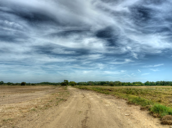
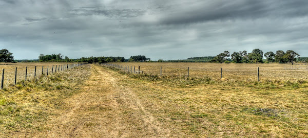
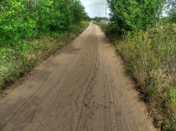
This is Cowle’s Drove with a rather wobbly cycle track down the middle. It wasn’t mine which was the track to the right. I tried to stay out of the softer patches of sand.

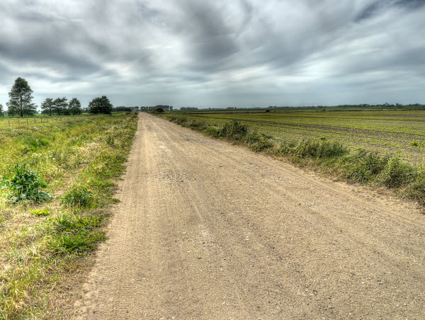
As Droves go this one was well maintained and looked like a promising off-road country route. I passed the occasional tractor working in the fields alongside. The track never seemed to get too potholed although there were patches where potholes had been filled. Here is a Google Satellite view, you can see it get closer to the River Little Ouse, with quite a substantial wetland area below the river.

As you might expect there was the occasional farm building – in this case extremely dilapidated. There was a more modern one next to it.  Someone has also taken the trouble to get power out here as well. It is always a little disappointing to find myself cycling in the wilds, only to find they are not wild at all. On a family holiday we once stayed in a lodge in Canada, 30 miles from a tarmac road with power provided from a generator and instructions to ensure someone knew you hiking plans – that did feel a little more remote especially when we saw bear tracks.

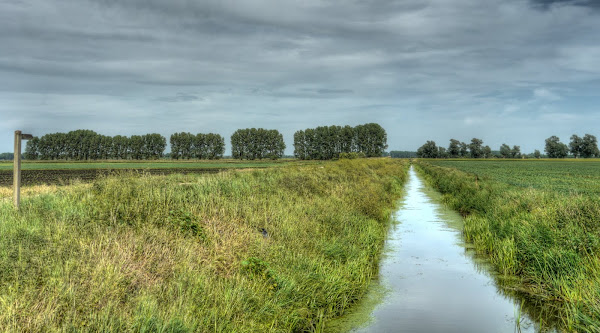
At this point there were quite a few ditches (drains) heading though the fields, which on the south side of the Drove did not look quite so heavily cultivated.  There are cattle grazing in the field to the right of the drain.

In fact there was quite a ditch alongside the Drove with bridges across into the fields.

At this point I came near to the end of the byway and reached the bank of the River Little Ouse. It did not look promising as a way through. There was a small “encampment” on the river – Xanadu Nature Reserve. At this point I did have a go at cycling along the top of the river bank, there was a slight track, but overgrown with stingles (stinging nettles) and thistles and grass and after a couple of stings I decided to look for a different route.

The OS map showed a few farm tracks heading roughly in the right direction, one called Headland Drove, but there was a gate across the track and at this point I thought I’d just head back and instead cycle along Corkway Drove and along roads to Little Ouse (the village).  By this point I was getting weary. Off-road cycling is great fun, but does tire you (well me) out far more than cycling along normal roads.  I guess it is because you use your whole body to “jump” small potholes and heave the bike around when cycling along sandy or stony tracks tracks.

So this is the River Little Ouse end of Cowle’s Drove and for a change I decided to cycle all the way along it back to Hocking rather than past the fishery. Technically that is the drain alongside it the post is actually pointing up the byway.

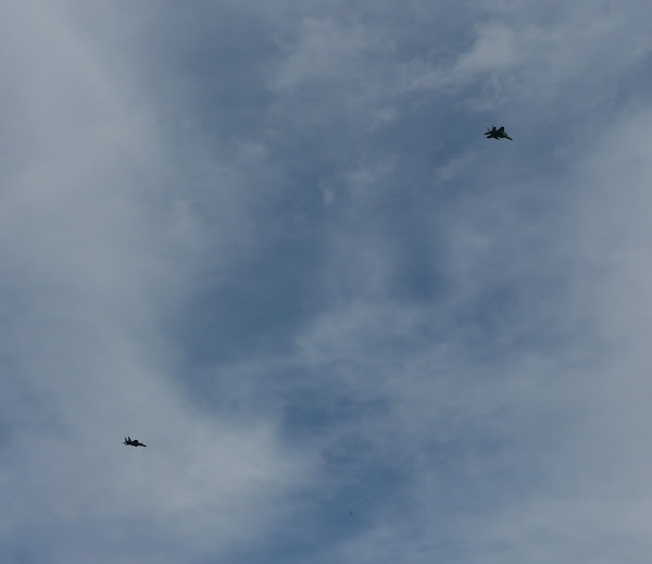
All day there had been jets flying in the sky.  They seemed to head out in a group of four or five and then sometime later return and fly down the runway and then take off again. I didn’t actually see them do circuits and bumps but that is what it sounded like. I think they are McDonnell Douglas F-15 Eagles which do fly out of Lakenheath. They are pretty noisy planes.

I once flew into a regional airport in the US where the Air National Guard also used the facilities.  On the way out as we sat drinking coffee in the small cafe in the airport a few flew out – taking off in groups and then heading almost vertical after take-off – they building rattled with the thunderous noise.  You realise that civilian planes are quiet by comparison. Mind you I once took off on a commercial flight just after Concorde had been down the runway. That thundered as well and as well trundled down in a 747 we seemed to be travelling through smog.

Once back in Hockwold I cycled out along Burdock lane (the RR30) route stopping only to admire the hills – we don’t get hills in the Flatlands! That must be over 20m high.

I took the off-road RR30 route which passed over  a bridge over the Cut-off Channel just by Whitedyke Cottage. This route followed Corkway Drove which I followed the whole way down to the bit where it stopped being a byway and became a road. This led onto Anchor Drove and Little Ouse.

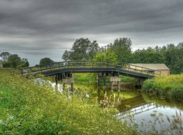
The last time I cycled this way I mentioned the bridge but didn’t take any pictures, so here are some.  Conveniently some tractors and a Volvo Estate happened by – it is quite a steep bridge by normal standards.

The same bridge without a tractor on it.  This time I cycled over it from right to left. That is the view down. The banks were quite overgrown. without actually checking it out it did not look as if there was an inviting bridleway. In fact I seem to remember seeing a sign saying Private property. (Sometimes landowners use such signs to discourage vehicles which don’t have a right of way from travelling over bridleways on their land. I feel that it can be misleading though.

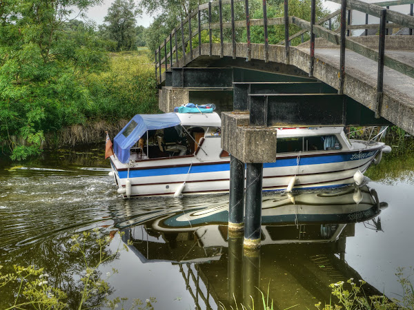
The bridge is quite a straightforward construction with piles set in the middle with a gap to permit navigation by boats.

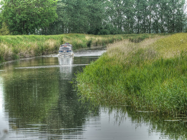
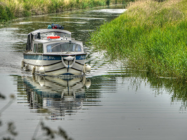
Conveniently I must have hit rush hour for this bridge. I have never seen it so busy before! A boat was heading upstream.

It was the Lesley Ann and the skipper didn’t hesitate as he headed for the bridge.

There was plenty of room though.

By this time I was feeling weary and had cycled somewhat further than I had signed up for so after passing through Prickwillow and then down towards Soham on the Great Fen Road I really just wanted to get on with the ride. Mind you I did stop to take a picture of this concrete track heading off the Great Fen Road. Look how as the peat has shrunk it is caused the road to ripple and then break up.

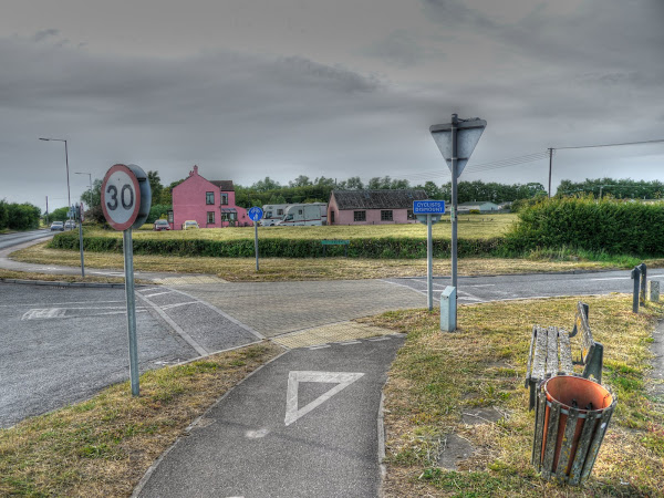
When I got to the A142 I was planning on crossing and cycling through Soham and on to Wicken, however there was so much traffic I gave up and cycled along the edge of the road. It seemed quicker than waiting and although this is a busy road I find that the white line helps motorists to improve their aim as they drive like maniacs drivers. I was thinking I would cross over at an opportune time as there are a few roads into Soham, but no. In the end I carried on into Fordham and out along the Ness Road to Burwell. There was one stop on the outskirts of Fordham though – cyclists second class citizens? – you bet. The idea that cyclists should defer to their betters (motor vehicles) is institutionalised and there is also an element of ambiguity. You also have a give way triangle on the ground – so should you get off or just give way, but carry on cycling.

In the spirit of taking a direct route home I carried on through Burwell, Swaffham Prior and Swaffham Bulbeck and onto Quy before joining the NCN51 route. I still clocked up a reasonable distance though.

In hindsight I should probably have drunk more fluids – it as a hot and sunny day. I also found that my cycling shorts had exposed a bit of white thigh (as opposed to tanned, brown thigh).  When I had a bath that evening that bit of exposed skin stung – I had suffered a bit of sunburn.

Next time I must pay more attention to the maps before assuming there must be ways through (and making sure I use sunscreen!)..

No way out of the Hockwold Fens–Part 2

Wednesday, 25th May:A quick recap – lovely day, not much cycling for the previous few days, so time to explore the Hockwold Fens, via a few byways and a mid-morning start.  Not all exploring works though so I had to backtrack – where it says blocked and there are red dotted lines. The navigable route shown is available on this Bike route Toaster Link and is 130Km/ 81 miles long. In my case I went somewhat further because of my ride along half of the red dotted line and back.  There are also byways I would give a miss to next time.  (Sandy drove being one of them – see Part 1.) At this point I have cycled from Cambridge to a byway near Lakenheath railway station heading towards Brandon.

As far as I can see on the map the byway does not have a name, unless I use Streetmap at a 25K scale and then it is called Hereward Way and is a Long distance walk. After crossing the Cut-off Channel this is how the path looked. For a split-second I wondered whether I must have just missed a fleeting shower, but the skies had been like that for most of my ride – no showers there.  It was due to the irrigation taking place in the fields alongside the byway. Whilst this sort of path does not have the same evocative smells as riding through a hot pine forest it does make for very pleasant cycling. 

I did swerve to avoid the puddles though – you don’t know how deep they might be. I also passed a jogger making good progress heading in the other direction.  By the looks of things it ought to be possible to use a bridleway on the River Little Ouse which runs (wends its way) parallel to this bit of the Hereward Way but slightly to the north of the railway line. Perhaps that is the route the jogger will take.  Strangely that bridleway has short sections of footpath along its way near to Brandon and at one point looks as if it crosses the River Little Ouse, although there does not appear to be a bridge.
Hereward Way leads onto Chalk Road and then into Brandon past the church – the Church of St Peter. The flint dressing is typical (in my limited experience) of churches in this area. For a more detailed description try this – St Peter, Brandon.

After joining the main road through Brandon I passed over the River Little Ouse, a river I hoped to be cycling along later in the day.

After Brandon I headed up to Weeting, I had intended to take a track to the left just after crossing the level crossing called Fengate Drove but didn’t, I just overlooked it I think. It must have been the shared-use path alongside the Brandon road that attracted my attention. The shared-use cycle path met with RR30 on the outskirts of Weeting and I stopped for a brief rest and a snack. Although I usually eat jelly babies when cycling this time I ate the Tropical Island Mix thinking that it might be slightly better with a slower release of energy, I hadn’t realised quite how thirsty I was though and drank one bottle of lemons squash straight off. If you follow the Street view link the road to the right is the route of RR30 into Breckland – a lovely off-road route – but very sandy. As you cycle through the woods you sometimes hear a train nearby, but shielded by the trees.

I turned off from RR30 to head in a north-westerly direction out of Weeting along the B1106 to Methwold, but just on the outskirts, I caught the first available BOAT heading left (to the right of the gate in the link). I was a bit worried as to the type of surface, some of the paths through the woods can be very sandy, but it was great – a good surface along a track with hedgerow each side before popping out into the open.

And when I say popped out – it did, with a path that carried along open countryside.

There were ponies grazing in the fields alongside and they paid me no attention whatsoever.

As it happens I had popped out into Hockwold Heath, Tomorrow's Heathland Heritage (THH) has cleared 91 hectares (225 acres) of pine trees to create a new nature reserve. Heath’s are man-made and if left to its own devices it would revert to woodland again and needs regular grazing.

As the BOAT climbed up through it passed more forest area and the track became a bit sandier, although never really a problem. Alongside the track was what I thought was Broomrape growing.

So I stopped for a closer look, the bees were certainly busy. I think that it is actually Wild Mignonette or Reseda lutea. The first link says that it is much visited by bees.

The path then reached a T-junction meeting another BOAT. Next time I will go right and then head along a road left after a short distance. On my Marin Hybrid with 25mm tyres this sort of track is horrible to cycle along. It saps your energy and as the front wheel digs in the rear wheel slips sideways and occasionally you find yourself having to jump off.I even managed to bang my shin against the pedal on one unplanned dismount. For the most part I cycled along it, but did have to walk occasionally. I was going to loop around the back of Chalkhall Farm on a byway but figured carrying straight on to Hockwold was probably the shortest route into Hockwold cum Wilton. (Where the track acquires the name Mill Drift – I am surprised there weren't more sand dunes).

It was quite a relief to reach solid tarmac again as I once again re-joined RR30.  It is not just the churches that had the flint look, so do the pubs – The Red Lion. Unfortunately it looks as though this pub is up for sale.

As you can see here it appears for sale. Although the link indicates a 3 or 6 year tenancy or longer lease for this “food led” operation with scope to encourage the wet led side! I wonder if that includes the three red lions?

I followed RR30 out of Hockwold along Burdock Lane taking the first available byway to the left along Sluice Drove which passed over the Cut-off channel, looking somewhat larger and clear at this end. It does interconnect with the River Little Ouse just south of Hockwold so perhaps this is where the real drainage business starts.

The bridge is owned by the Environment Agency and they seem to be wondering what to do with the it?

This is the bridge, although the note didn’t really give a reference  for the bridge. According to the Local Council minutes they have been notified about maintenance works on bridges. (Also noted as item 17.7 on this word document.)

There are quite a few military installations around these parts and as well as the airbases at Mildenhall, and Lakenheath there is also a station at Feltwell, although it does not seem to have a US website it does have a wiki RAF Feltwell and has the home of the Army and Air Force Exchange Service’s sole furniture store in the county. It was also a former Thor missile base.  The furniture is stored in those spherical warehouses.

Next – The real “exploring” beings…

No way out of the Hockwold Fens–Part 1

Wednesday, 25th May: You might have detected in my last Post “Round and Round on a Random Byway” that sometimes it can be a challenge to just cycle round the same old routes and also life gets in the way.  So midway through the week not having had the opportunity to get out on my bike (much) for the last few days it was time to make time.  It was also no coincidence that  on Wednesday the weather was also very promising  as you can see from the link. It started cool but quickly warmed up and was very sunny in the morning with an afternoon dip (in sunshine) before some late afternoon sun. (Unlike the graphs on the DTG weather site there was no gap in the weather either!)

I really ought to get better at planning my bunk-off days, as it was I hadn’t managed to clear things until late morning. After last week’s ride around Southery using the regional route 30 (RR30) I had a look on the map to see what lay to the East of Southery.Unfortunately it would seem that Regional Route 30 is the poor relation of the Sustrans routes. The best website is the one I linked to above that is run independently of Sustrans.

In fact until just now as I write up the journey I had not realised that the RR30 route  has a loop on it that used one of the byways I cycled along. Here is a Sustrans map to the loop – you will probably have to zoom in. This loop does not appear on the OSM Cycle map as a Sustrans route around Hockwold cum Wilton and some of the bridleways are missing as well. I have discovered a reference to the loop as a cycle route on the Norfolk Country Council website – route 29 Hockwold cum Wilton, with a map (pdf).

After looking at the map I decided upon the way home: Little Ouse through Prickwillow and it looked as if I could use a byway called Cowle’s Drove to get from Hockwold cum Wilton through to the River Little Ouse and then to the village of Little Ouse. The next thing to decide was how to get there. I was originally planning on cycling through to Mildenhall and then to Lakenheath and then up to Cowle’s Drove near Hockwold cum Wilton. In the end I decided to be a little more adventurous and picked a route that went through Mildenhall Woods (or at least the woods next to Mildenhall and then via Undley to Lakenheath.

Then depending upon how easy the off-road routes were to ride I would either carry on up  to Cowle’s Drove or cycle along a byway just before crossing the Ely Norwich railway line to Brandon and back either along the RR30 route to Hockwold or detour along a BOAT just to the North of Weeting.

In the end the route I took is shown below, almost! I followed the route shown but also cycled along Cowle’s Drove, shown as a hand-drawn read dotted line – up to the circle with blocked next to it. At this point I reached the River Little Ouse, but has misinterpreted the map the path shown is not a right of way (black dashes rather than red dashes) for about a kilometre.  Now that does not usually stop me, but in this case the path was on the bank of the river and overgrown with grass, thistles and stingles (stinging nettles)   and I was wearing shorts and sandals. So I re-traced my steps.  The route shown is available on this Bike route Toaster Link and is 130Km/ 81 miles long. In my case I went somewhat further because of my ride along half of the red dotted line and back. 

The route is flat most of the byways are cycle-able and indeed very pleasant, but not all, I got off and walked along one section so if you do the route I would suggest going north where the Weeting BOAT hits a t-junction rather than south. This would take you through Feltwell  and then to Corkway Drove. Mind you I have cycled along that bit of the Northern BOAT so who knows.

It started of quite cool that morning and although the sun was shining and the temperature was climbing when I set off I did take a fleece and thin rain jacket with me just in case. I also took two water bottles of lemon squash, a packet of jelly babies, a packet of Tesco “Island Mix” and two ice-cold cans of diet coke.

I broadly followed NCN51 out of Cambridge, but cycled through the middle of Swaffham Bulbeck rather than around the back (a hill) and as I was cycling through Swaffham Prior decided not to cycle through Reach but to use the main road instead.  The main road does have a shared use path alongside the road for the bit between Swaffham Prior and Burwell. This was the scene of a tragic death in January when a cyclist was in collision with a motorcycle.

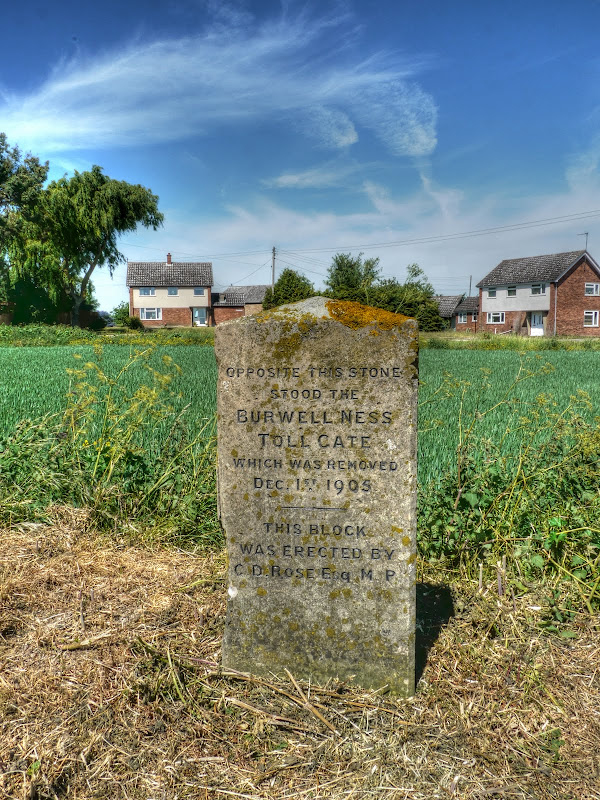
After Burwell I headed out along the Ness Road to Fordham. Now I have cycled past this stone many times and along a byway between those houses in the background – Tollgate Farm and Ness Farm, but I have never paid any attention to it. as you can see it commemorates a Toll Gate removed a little over 100 years ago.

As I had quite a chunk of unknown off-road cycling ahead of me I followed the B1102 through Fordham  (except I went the other way around Fordham) and then through Freckenham, Worlington (in Suffolk) to Mildenhall. There is where I was to find my first bit of unknown, to me, bridleway.

By now the sun was shining strongly and it was quite warm and as I turned off the road onto the bridleway there was the scent of a warm pine forest in the air.  the say smell is a very evocative sense and immediately I was transported to some cycling I had done a few years ago in Oregon. There was that immediate well of warm summer and the track was good, there was no-one around and it was what cycling is all about for me. (well not all but quite a lot.)Smile

I did have a paper map to hand and had highlighted the route I wanted, which didn’t follow the obvious “track-road” all the way through the woods.

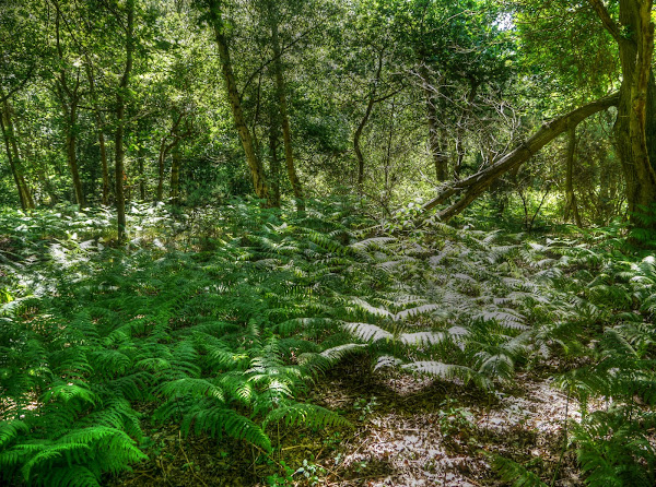
The bridleway followed a decent, but thinner track through the woods and ferns. This is to one side of the path – it wasn’t that wild a route.

I did wonder whether I should have brought a helmet with me. I don’t think byways are too much of a problem but single-track through the woods can sometimes be a little more challenging. But I hadn’t, what I did do though was raise my sunglasses to ensure that I could see the track clearly in the shade.

The bridleway jiggles about a bit in the woods and was not always the most obvious route but I found my way along it. In fact I started to think maybe I have got this navigation business sorted out. Although it does seem to have taken more than one score years to sort out some would say more than two even. The route then converted to a byway, although not as good initially as the bridleway at the start before reaching Eldon Drove and then Eldon Lane (on the right of the Streetview link). 

I cycled through Holywell Row looking for the next byway to appear on my right. This one had no signs and at first looked as if it might be someone's drive but the position of the phone box confirmed it and I cycled up it, the byway not the phone box.

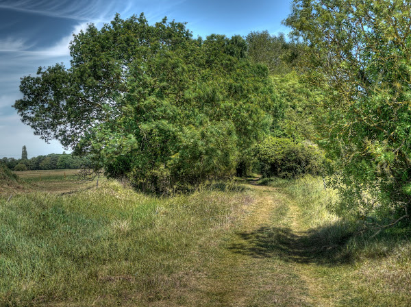
It was not too promising to start as it thinned a bit, but after a while it opened out before running down the middle of a strip of wood. It had one of those imaginative names – Fen Lane.

The route then followed a country lane through Wilde Street past this farm with what looks like a Hawk jet parked on the grass (as used by the Red Arrows). They just don’t build garages large enough nowadays. Perhaps it is used for crop-spraying?

And here is one I prepared earlier. It was taken nearly six years ago at the Silverstone 2005 GP. Whilst I love cycling and try to ensure I cycle more miles (or kilometres) than I drive I am still captivated Formula 1.  I will go out of my way to watch the GP races on TV throughout the season whereas if the Tour de France is on I will watch it but I just don’t go out of my way and frankly just don’t find it so compelling a spectacle. I know it is weird – but hey I’ve never claimed to be normal. You should be able to click on the picture if you want a better view. Mind you it was only a 3MPixel camera so don’t hope for too much,

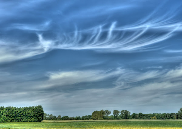
By now it was simply a glorious day – the sun was shining brightly it was warm and there was not that much wind – it was a day made for cycling around country lanes.  On the way to Undley Common I stopped just to take a picture of the wisps of cloud in the blue sky.

A little bit further along this back way into Lakenheath and despite there not being so much irrigation taking place the crops seemed to be growing well in the fields.

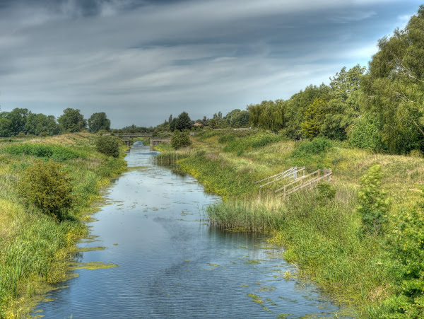
On the outskirts of Lakenheath I crossed over this cut-off channel which winds its way from Mildenhall and the River Lark to Denver Sluice. According to Hansard it was built during the 1950s and expected to be finished by 1963 according to an MP’s question to Mr parker the then Minister of Agriculture, Fisheries and Food. It is 25 miles/ 40Km long.

By the looks of things it is left unkempt.

My plan was to cross the High Street in Lakenheath and head along the Broom Road along a byway and then round the back of the town past Maidscross Hill and on to another byway. I hadn’t quite realised that my chosen route had a segment of footpath, but it was short and I didn’t meet anyone on it. I did have to duck to avoid the odd branch encroaching onto the path though.  As you can see the soil surface here was quite sandy.

After this I was heading for a byway leading of Maids Cross Hill (road) which I had checked out too thoroughly on the map. I now see, as I write this and check the map for names that the byway is called Sandy Drove – and that it was. After struggling along it for around a half a kilometre I trudged back to the road.  My wheels just kept bogging down in the sand. My track can be seen right of centre. I rarely give up  -  but I still had a fair bit of distance to go and quite a few unknown tracks to explore. 

When i reached the road I had to stop clean the sand out of my sandals and of my feet, cycling with sandy feet is not pleasant. There was a good view of the airbase through- it is quite impressive.

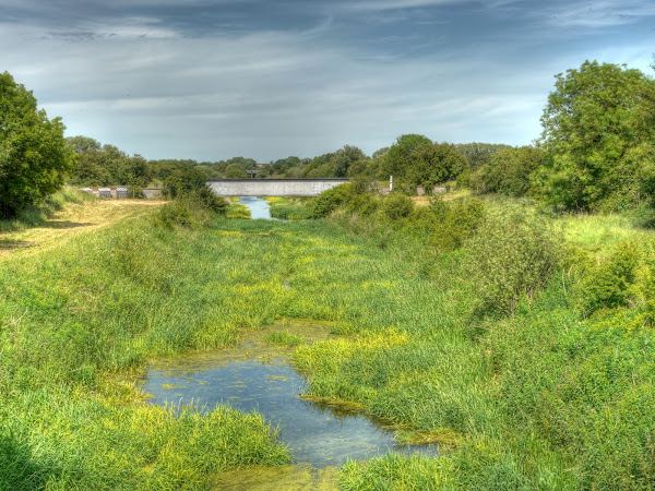
So in the end I cycled through the middle of Lakenheath on the B1112 and back over the Cut-off Channel but only a short way up the B1112. Just before the Level Crossing (and Hiss Farm) I turned right along a byway that runs parallel with the railway over to Brandon.  Mind you a short while along the byway and I found myself crossing the Cut-off Channel yet again. The is the railway bridge up further the channel.  It looks rather weedy – it must have lost some of its importance in terms of the drainage of the area. (That is the view looking north.)

The channel the other way looks a little clearer, but shows it age – the tree development is pretty impressive.

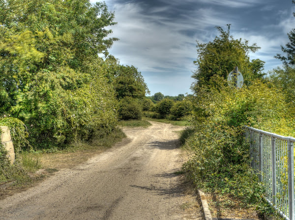
This is the bridge – an agricultural bridge really, there was a weight limit on it – set at 17 tonnes – see item 4.

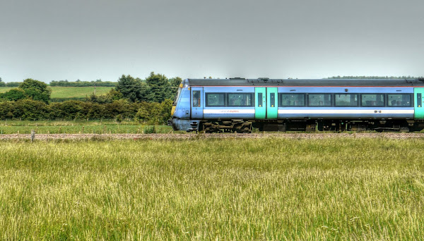
The byway was quite a decent track and I even managed to stop, get my camera out of its bag, turn it on and take a picture of a passing train. In fact this was the only one I saw – so the line can’t be that busy.

To be continued…