
The weather forecasters really did get it right - an ice-cream weekend - blue skies, warm, sunny and not windy. What more could a cyclist ask for - well quite a lot I suppose - interesting hills, no cars, great single-track, no punctures, tasty sarnies, cold drinks - the list could be endless. Yesterday (Saturday) the weather was nice I pootled in pastures new. In case you are wondering what this means checkout definition 2 in the Urban Dictionary - although pootlers are not strange people. On Sunday I decided it was to be a pootle around the fens (White Fen and Wicken Fen being the main Fen centres of my pootling.)
Once again warm weather and blue skies, with temperatures around 28C meant sunscreen was required. when I reached Lode and was heading down Lug Fen Droveway I took this picture - there seemed to be a thin line of clouds just above the horizon. I wonder what leads to the formation of those clouds?

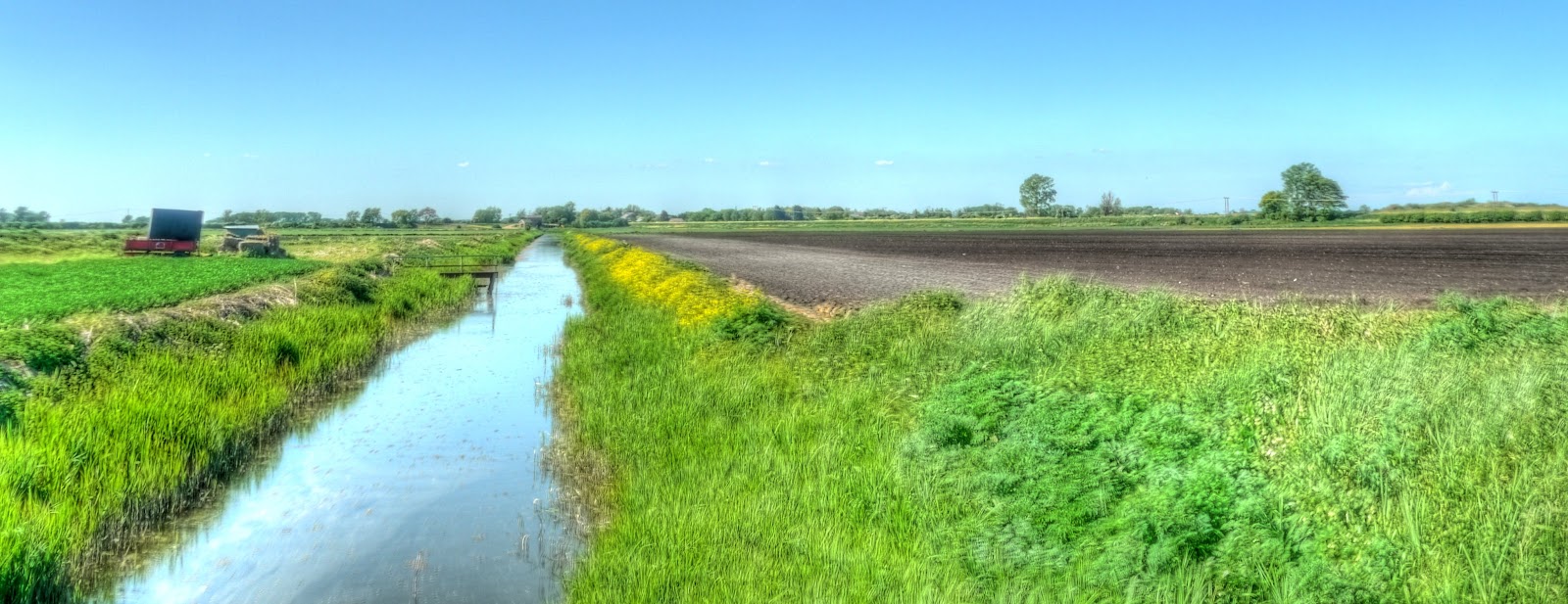
I carried on down Lug Fen Droveway and took this picture of Bottisham Lode from the middle of the footbridge. (Vicarage Farm is to the right of the picture and Hatley's Farm is behind. You can walk along the footpath through to Bottisham Lock and then get over the River Cam to Waterbeach. The footpath between Lug Fen Droveway and Bottisham is the stumbling block for cyclists. The lock itself has a footbridge with a metal channel to assist cyclists in getting the bicycles over the river. I am not really sure why the bridge facilitates the movement of bicycles over the river because there appear to be nothing but footpaths leading off the bridge on this side of the river.

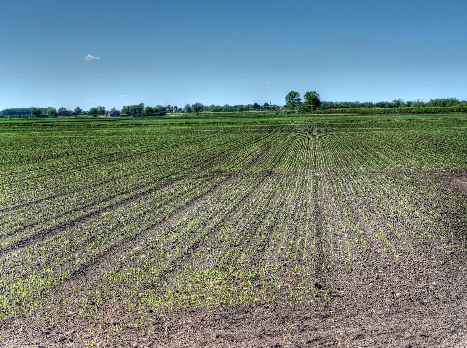
Then it was the way I had come back to the turn for White Fen (White Fen Droveway). At the end of the Droveway is a field full of Oilseed Rape in full flower. The field is quite large and has an odd "track" down the middle. No it is not really a track but the crop is growing a little differently down the middle. My guess is that it might have been a hedge that was grubbed up to create a larger field. A look at the 1930 and 1940 OS maps show a track to the left and looking at the Google Earth picture does not show anything (on bare soil).

As it was a Sunday I popped over to the new bridge being built over Reach Lode as part of the Lodes Way access corridor (to quote the NT press release.) When I was looking for the Rights of way section of the Cambridge County Council website I also came across a section for reporting abandoned cars - I only mention it because I have been impressed with the speed by which such cars are removed around this part of the Fens. Here is the view of the other side - the ramp is not quite as complete - but you can see it too will have three culverts (in case of flooding apparently - although with culverts that large they must be thinking of global warming with the sea doing the flooding!).

The ramp on the Cambridge side (as opposed to the Wicken Fen side), here the ramp is fairly complete and is having soil added along the flanks.

The bridge that will span Reach lode - it is a larger bridge (because it is a larger Lode) than for Swaffham Bulbeck Lode - impressive. I do not know what the four concrete rectangles are for, my guess is they will be used to stabilise the crane that will move the bridge into position.

There are also some diggers on the Wicken Fen side that look as if they might be spreading some hard core for the shared path.

This picture was taken from just alongside the bridge site - the tree is a good landmark.

I then cycled along the track towards Upware and whenever there was a farm track to the right (looking North) I popped along it to check out the view. I did not realise the cow parsley is a cash crop - with this field full of it the farmer should be doing well.

This is the sort of off-track I am talking about. They all lead off Straight Drove, but not far - for the length of a field you get a different perspective. This picture is looking West - there are no small clouds on the horizon here.

Oops I spoke to soon - there is a cloud, seen when looking North - one little one all on its own. This field will need a bit more water than that cloud can supply I think.
Straight Drove then turns onto Harrison's Drove which turns away from Commissioners' Drain slightly. This picture is taken by cycling along one the tracks perpendicular to Harrison's Drove - the "Drain" seems to have a more relaxed bank - almost river like.

The Drain looking North - I wonder if that ramp jutting out into the Drain was once a footbridge across the Drain. The buildings in the background are the Swaffham Pumping Station. The picture is taken from a flat concrete bridge over the drain (large enough for tractors and the like.)

Pretty much the same shot - but not on full zoom - actually on the least zoom - or widest angle. The zoom picture above gave a 10x increase in size.
Although I have taken many pictures of Wicken Fen, even along this part of Sustrans 51 that runs through the Nature Reserve my real purpose was to keep an eye on that cloud - it now seems to have multiplied (by division!)

A quick trip over to CockUp bridge where the last of the bridges to complete this side of the Lodes way route is to be constructed. There are two bridges here. One that remains up unless someone with a key wants to drive over it - the other - a footbridge. I think that the moving bridge is CockUp bridge. The footbridge where I stood to take pictures is next to the name High Bridge on some maps. I like to think that the Footbridge, that provides a slightly elevated view of the surrounding countryside is High Bridge and the other bridge is called CockUp Bridge - for obvious reasons.
This picture is taken from the footbridge looking back in the Cambridge direction. You can see the ramp construction for the Reach Lode Bridge and a load of rubble, that I am guessing is being used to provide a reasonable walking/cycling surface for the Lodes Way path.

Looking North along Burwell Lode - it joins with Reach lode before getting to Upware - it looks nice and clear.

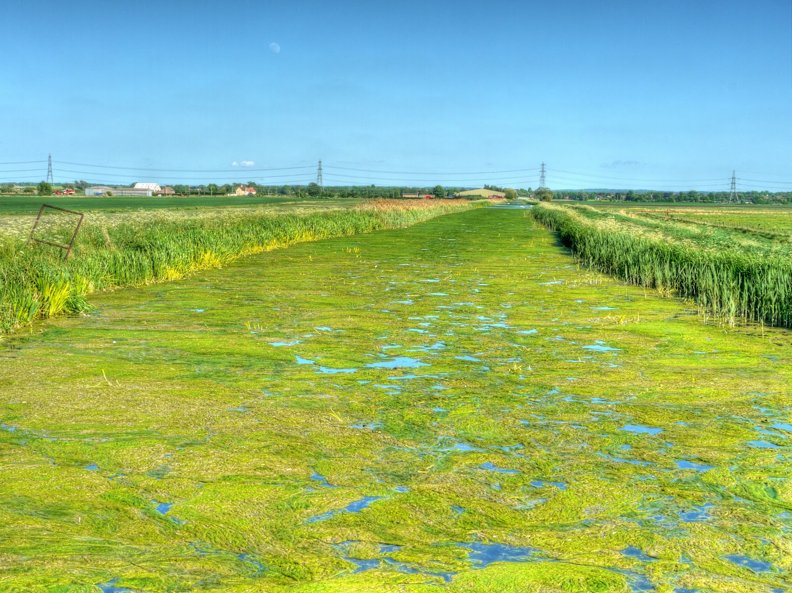
This is the same Lode looking downstream of CockUp Bridge - why is there so much weed here and yet none to the North of the bridge? They are the same Lode - is there some spillage into the water which encourages weed growth? I don't know enough about these types of waterways. I will have a look at the Environmental Agency website to see if they have an explanation.
I counted 22 cyclists this side of White Fen in the countryside exploring, some of them were on the tracks around Straight drove (near the new bridge). With the work to open up access there has definitely been an increase in people visiting (I passed a car that had been to see the new bridge development as well - well the occupants anyway) - by my estimations. Which I think has to be a good thing - it is of course even better when they visit by horse or bicycle.
One thing I keep forgetting to mention is that there are loads of flies around - when I cycled to Ipswich I was covered when going though some wooded areas. They are not so bad in Wicken Fen - but I generally end up spitting a few flies out each time I cycle through at the moment.
Is there a way we can exchange email addresses without making them public? I can clear up a number of your questions, but really can't do it in full view :-(
ReplyDeleteAlternatively: I'm working in Moulton all this week, meet me at the Packhorse Bridge at 13:30 one day ......
MikeC
Ok - I will be at the Bridge on Thursday.
ReplyDeleteThis comment has been removed by a blog administrator.
ReplyDeleteOK, see you there.
ReplyDelete