
After climbing this hill my bike needed a bit of a lie-down, so I stopped to take a few pictures. There were a bunch of Combines all lined up ready to start harvesting. There were some pretty large fields all around so I am not surprised they had arrived mob-handed.

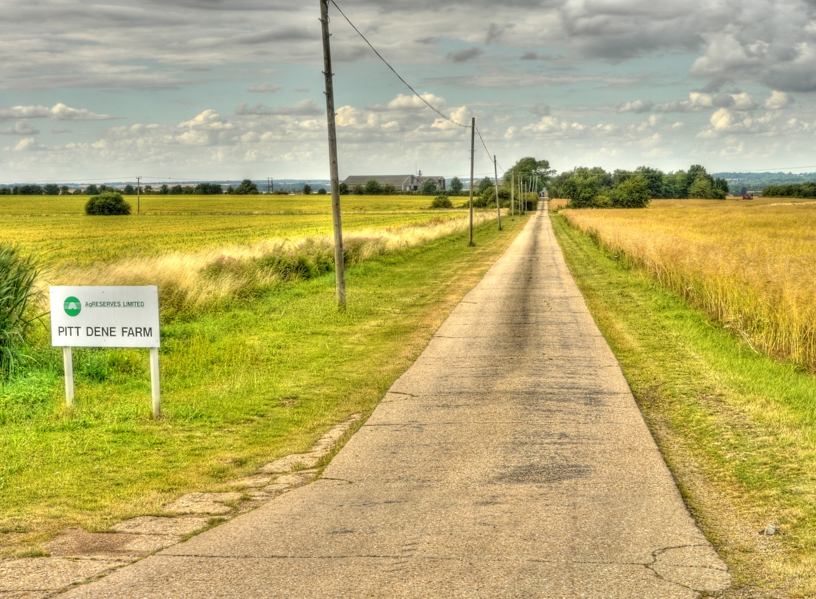
Concrete tracks must have been a popular (and cost effective?) method of upgrading mud tracks. They seem to be used all over the Cambridgeshire area. As you can see in the picture they are laid in slabs with an expansion joint (I presume) between them. In the lower lying areas of the fens you get a regular thump thump as you cycle over the gaps which seem to get larger over time. The concrete tracks between Over and Earith are badly cracked and would not be easily navigable in an ordinary car. (They require care on a bicycle as well.) Is this something to expect over time with the CGB concrete tracks i wonder?
This was the last in a line of Combines - waiting to have the combine-bit (which is towed when on the public roads) bolted back onto the front.

The byway reached the road by way of this concrete track. There was even a "Byway" sign so I was pretty certain I had exited along the right track - it was not too clear when cycling through the farm buildings whether I was heading the right way through. I knew that I was heading for a public road though and used my GPS to check the direction it was in - which seemed to fit with the direction of this track.
My route dropped down the hill (actually Rogues Lane) and went through the outskirts of Elsworth (link2) (with two competing? websites) to another somewhat anonymous Byway to be fair there was a sign on this one. There were also a few (three) gates to go through in relatively short succession. This picture was taken looking back from Gate 3 at Gates 2 and 1.

The path seemed to follow along near the line of a stream (with no name, on the map anyway) alongside a hedgerow. The path itself looked to have been recently trimmed - here it is along the edge of a field looking back, I think.

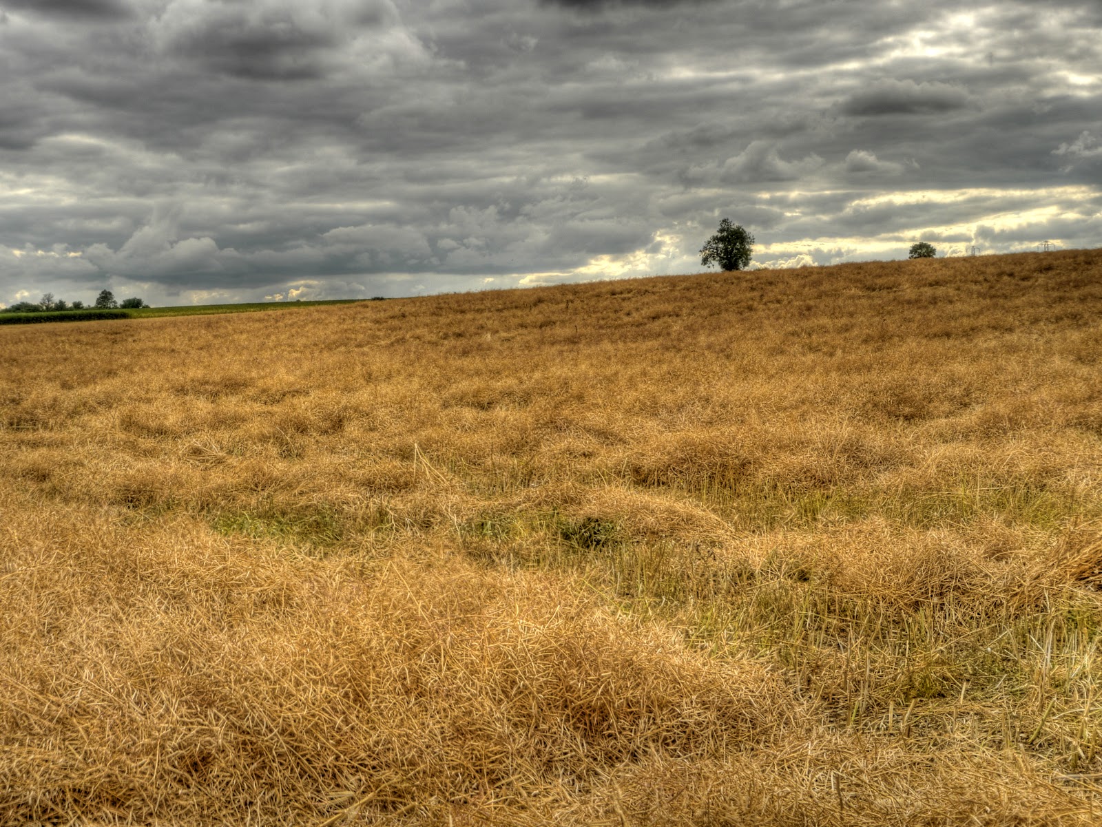
This field alongside the path had been cut, presumably to allow it to dry in the sun to get to the right moisture levels for harvesting.
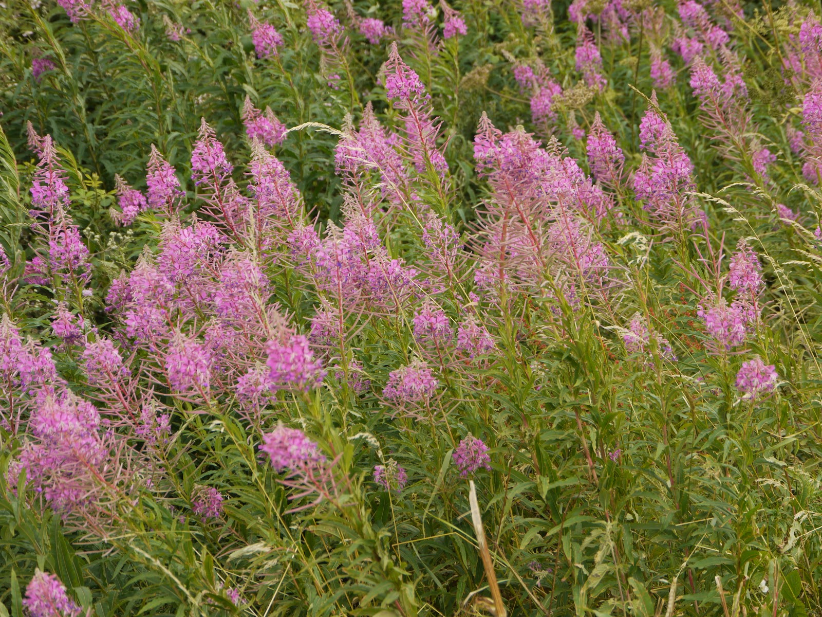
For some reason I though this would be easy to identify - growing alongside the hedge at the edge of the field, there is loads of it in flower around the Flatlands at the moment - there is some along the banks of the CGB near Windmill Bridge (near Over). But a quick look suggests I need to check out the flower a bit more closely, so I will take a better picture the next time I see some.
UPDATE When trying to find the name of the flower in a later picture I found this one - Rosebay Willowherb (Epilobium angustifolium)
The path then crossed a stream where fortunately there was a bridge. There were no signs, but judging by the map I was expecting to skirt around Elsworth wood to the left. The path looked as if it could very easily have carried on - but would have gone through a gap in the woods.

This is the view looking forward from the bridge - spot the track. I carried straight along the edge of the crops until it was also along the edge of the wood. It then carried on back up a hill through Lawn Farm which also offered fishing in the nearby lakes. Elsworth Woods are the trees you can see in front.

I think that this is another Willowherb - probably Hoary Willowherb (Epilobium) with Teasels in amongst it.

I had forgotten where I took this picture, but a quick check on the sequence of pictures and I worked out it was up the hill before reaching Lawn Farm (the Fishing place). The tree in the middle distance is where I had come from - at this scale it is difficult to tell.

I then got lost in Cambourne, there are lots of cycle ways around the place but not many signs to help the unwary traveller. I wanted to cycle East out of the village along a track that does not appear to be marked on the OS map as a right of way - but is shown on the OSM cycle map. On checking later it appears there are two ways East to the road (Broadway) I found the top one in the end - by using my GPS to head in the direction of the path (I was using the map on the GPS to show me where to go in the maze that is Cambourne).
I then cycled along the bridleway to Caldecote and through to Hardwick before dropping down the road towards Toft and the B1046 to Comberton. I came this way for a change and to check out the right of way through the Rifle Range! I had to stop to get a picture of this sculpture along the B1046 in Comberton - quite striking and the rain stains enhance the effect I think. It was produced by Mel Fraser an artist living in Fulbourn.

I turned off the B1046 up a byway - this one, before getting to Barton. Someone could not be bothered to take the wood to the tip. The byway carries along northward to nowhere (well it goes somewhere but just appears to stop in a field). I then cycled along a bridleway skirting the edge of the hill towards the Rifle Range. There the path came to a gate and some warning signs and a little cabin for a lookout to sit when the range is in operation. There were warnings about the dire consequences of straying from the path, which went between the targets and the shooting stations - judging from the map you can get up to 1Km away from the targets.

After the excitement of cycling through the range the path reached the Grantchester Road. The land around and about seems to be part of the Coton Countryside Reserve. Various permissive paths and a permissive bridleway have been created - but this one specifically prohibits bicycles - the bottom sign on the post. I wonder why? Horse and cycles are allowed to mix on bridleways usually.

Fortunately bicycles are welcome elsewhere in the reserve and there is a path through the reserve to The Footpath, between Coton and Cambridge. What's more two concrete "tracks" have been laid down along the path. This makes the beautiful countryside accessible to a wider range of users whilst not compromising the path for agricultural vehicles and animals. The picture below shows the track to the left alongside one of the fields. (The picture is made up from three (x7) side by side pictures and then stitched together using Photoshop Elements.)

On my way back I went along Gilbert Road - although as I was moving off at the traffic lights, once they turned green, to go straight on into Gilbert Road from Warwick Road a Learner Driver coming from Gilbert Road turned right across in front of me. The car was marked with learner plates so I was wary as I set off - I hope the Driving Instructor discussed the error of the drivers ways - but another car then did the same thing. At this point I raised two fingers to indicate that she was driving the second car to cut me up. Up until my hand signal I am not sure she saw me - ho hum - that's tin can drivers in their insulated world for you. Talking of selfish behaviour there were around 23 cars parked in the cycle lanes along Gilbert Road when I went past.
No comments:
Post a Comment